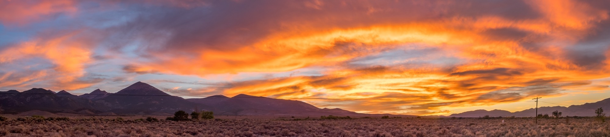
Like the name says, massive sand dunes. Almost indescribably huge. Approximately 30 square miles (78 square kilometers). Lots of sand. And wind. Which makes sense. It takes a lot of wind to pile up sand over 750 feet high at the foot of the Sange de Cristo Mountains.
We spent a couple of hours one afternoon at Great Sand Dunes National Park with no real plan of what to see or do.
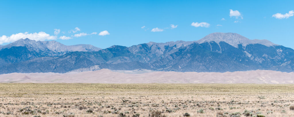
On the drive into the park there are several pull offs where you can admire the dunes from afar. I think the views of the sand dunes from a distance are quite amazing. The dunes look like small mountains in front of the actual mountains behind them.
Taking photographs of the dunes was more of a challenge than you would think, as the wind was blowing fiercely during our visit. It was not easy to hold a camera steady. Standing still was next to impossible.
After the obligatory sign photograph, we stopped at the visitor center for a quick look around, but did not stay long. A trail leads from the visitor center to the sand dunes, but it’s easier to drive around the corner to the much closer dunes parking lot.
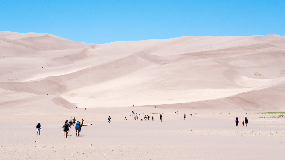
For better or for worse, all casual visitors to the park are funneled to the same section of sand dunes. You’ll see everyone from couples taking a stroll, hikers heading up and over high dune into the dune field, families with little kids treating this like a day at the beach, and fully decked out sand boarders.
The sand boarders are the smart ones. They’ll be wearing long pants, long shirts, face coverings, and goggles. More than anyone they know that the sand is extraordinarily hot in the summer, reaching 140° F (60°C), and that any exposed skin is going to be stung by blowing sand.
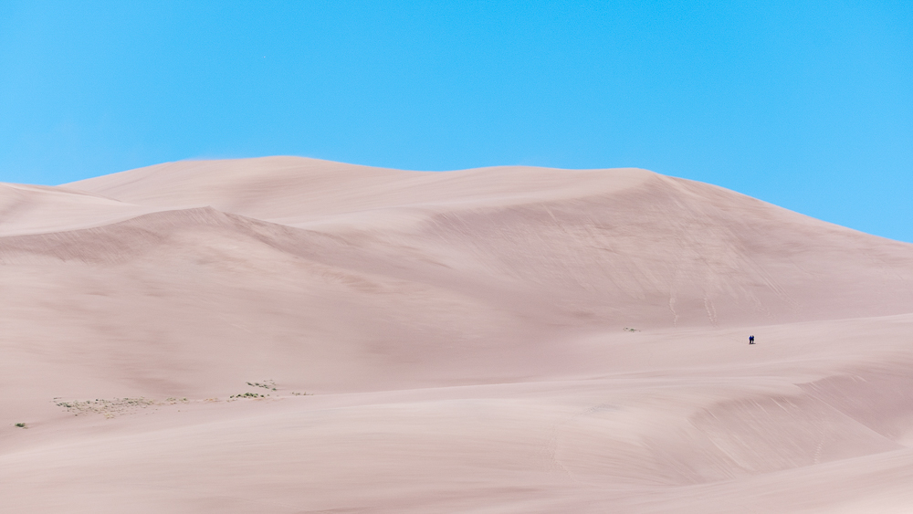
If you want solitude, your choices are a long trudge across the sand or a drive down a dirt road to a different area of the dunes, which may require a high clearance, 4-wheel drive vehicle, depending on how far you want to drive.
After driving over to the dunes parking lot, Stephanie and I promptly starting walking across the sand to the dune field before abruptly stopping. From the parking lot it is probably a quarter of a mile or so to the base of the sand dunes.
What were we thinking? We weren’t going to hike up the sand dunes, so why bother walking across a burning hot sand field in fierce wind? We played it smart, admired the scenery while standing next to a couple of large bushes, and watched others trying to enjoy themselves while getting sandblasted.
It did not take long for us to leave the main sand dune area. To get a view from a slightly different vantage point, we drove into the campground to the Dunes Overlook Trail. This is a two mile hike up to an overlook. It sounds good, except the sandy trail is almost entirely in the sun. We walked about a quarter of a mile before deciding that today was not the day we wanted to hike in soft sand in full sun.
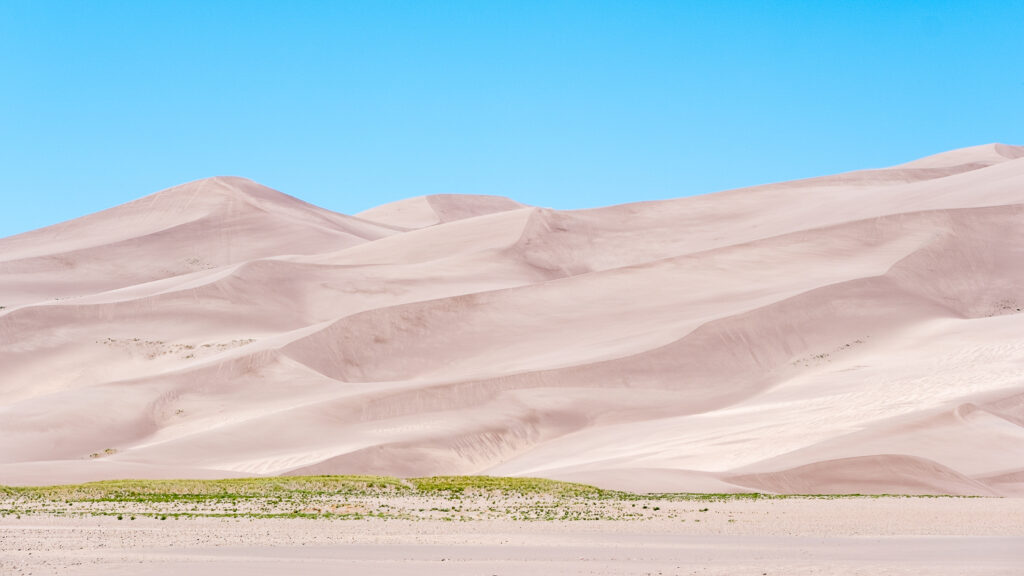
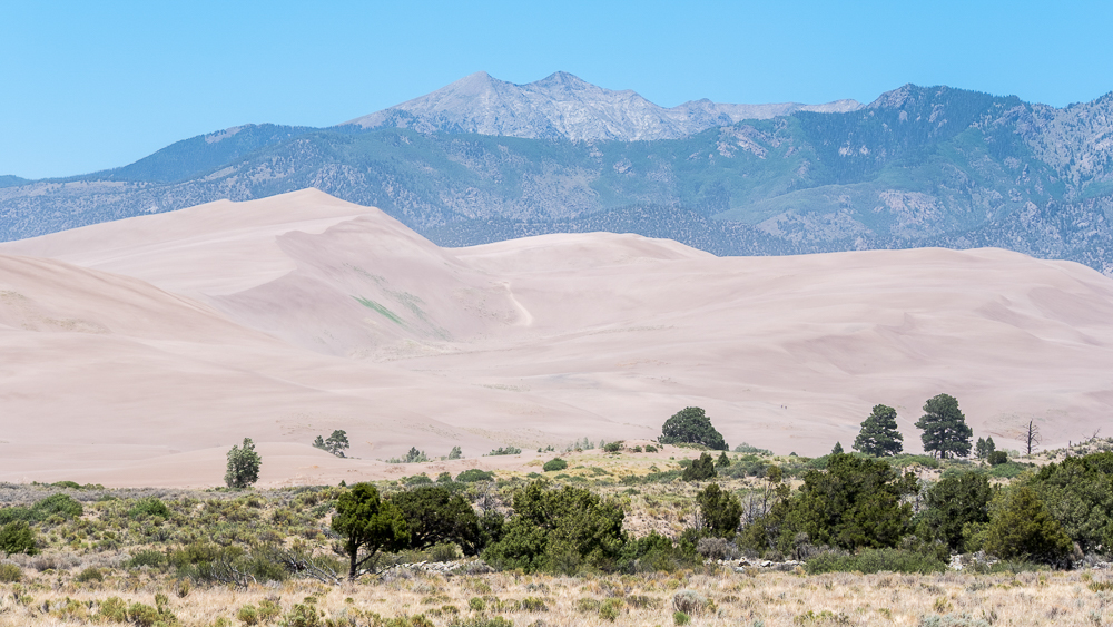
We knew that summer was probably not going to be the best time to visit the park, but this is when we are in Colorado, and I’m glad we stopped by, even if it was only for about two hours.
The best time to visit Great Sand Dunes National Park is probably in the winter or spring. Winter because seeing snow on sand dunes would be memorable. Spring because Medano Creek is flowing. For a few months each year snowmelt from the mountains creates creeks that flow around the base of the dune field. Unfortunately, we were too late in the season to have any chance of seeing flowing water.
Stephanie was again craving pizza so for dinner we went to the Purple Pig Pizzeria Pub in Alamosa. It was great, probably better than the pizza we got from Buckaroos Slices & Scoops in Montrose.
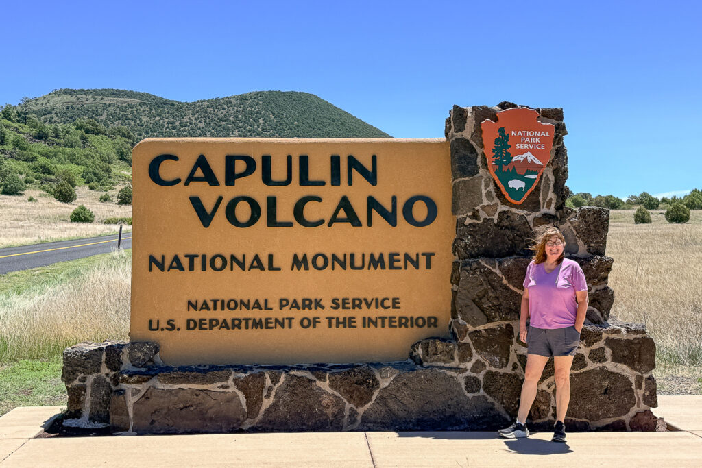
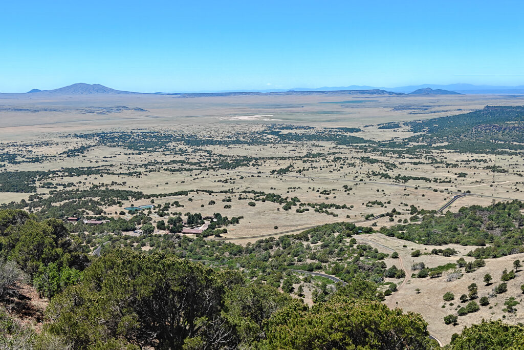
Great Sand Dunes National Park was our final planned stop on this trip before heading back to Memphis. However, it was on the drive through northern New Mexico where we made our actual final stop, at Capulin Volcano National Monument. I had vaguely heard of this place, but had no idea where it was or that we would be literally driving right past it.
This area of New Mexico is home to the Raton-Clayton Volcanic Field, basically plains dotted with extinct cinder cone volcanos. One of them, Capulin, was made into a national monument. A small visitor center is at the base of the volcano. One road exists, to and from the summit, where a small parking lot awaits. Up top hiking trails circle the crater rim and lead to the bottom of the crater.
Checking in at the visitor center is mandatory to ensure that a parking space is available at the summit. If its busy, which is definitely possible given how small the summit parking lot is, there will be a wait list for cars that want to drive to the top.
After checking in and confirming that parking was available at the summit, we drove up. The road circles the volcano steadily proceeding uphill. There are no guardrails or trees on the side. If you drive off the road, your car is going to barrel roll 1,000 feet down to the base of the volcano.
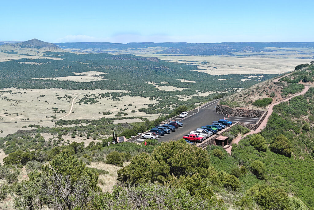
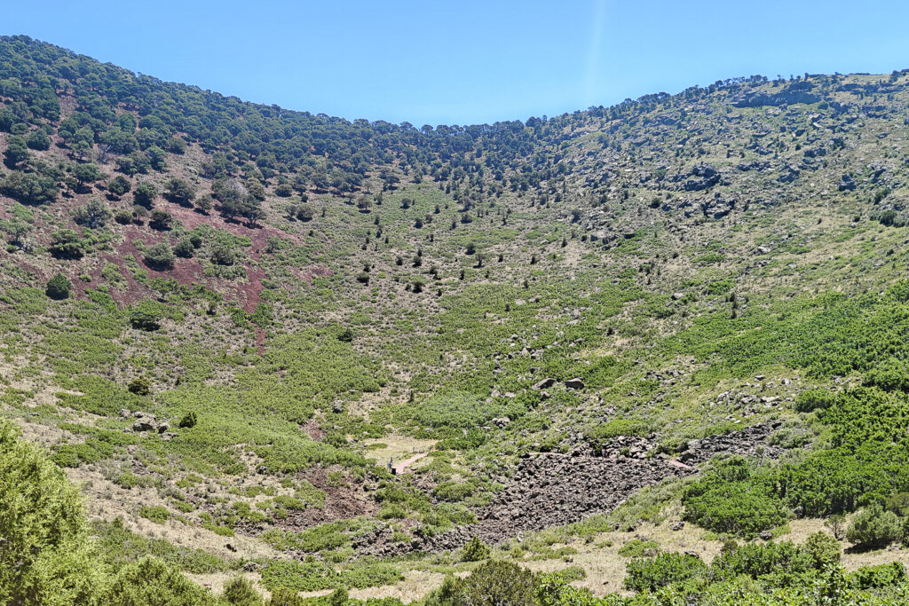
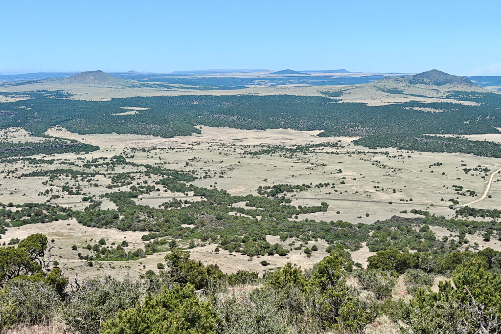
Once at the top we partially walked around the crater rim and then decided to leave. We still had a long drive ahead of us and did not need to spend a lot of time at an unplanned stop. Capulin Volcano National Monument was a nice place to stop and stretch our legs for a bit, but there’s not a lot to see.
Miles Hiked:
Not enough to bother counting.
Garrett and Stephanie
To read other posts about our adventures in the National Parks and National Monuments, or elsewhere in the world, check out our Travel Blog. It contains collected links to all of our travel posts.
Want to subscribe (or unsubscribe) for email notification of new blog posts? It is only two to three emails a month. Send your name and email address to slowtravelchronicles@gmail.com, and note subscribe (or unsubscribe) in the subject line. All email addresses will be kept confidential and not sold to any third-party. You won’t get any marketing junk or sales pitches from us.