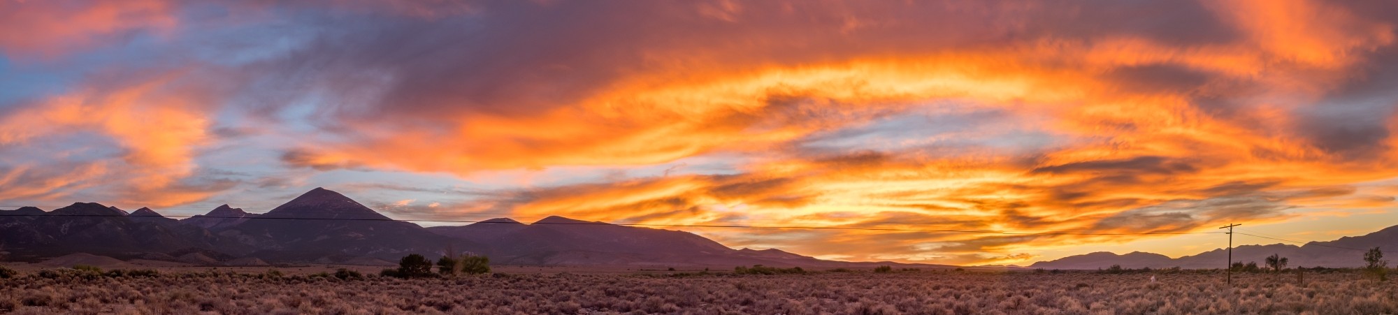
On the way to Great Basin National Park, we stopped for a day in Moab, Utah. Thankfully we’ve been to this area of Utah before, because in mid-June the temperatures were already reaching 100° F (38° F). Instead of feeling compelled to explore Arches National Park and Canyonlands National Park, which we did in October, 2022, we spent the day at the pool.
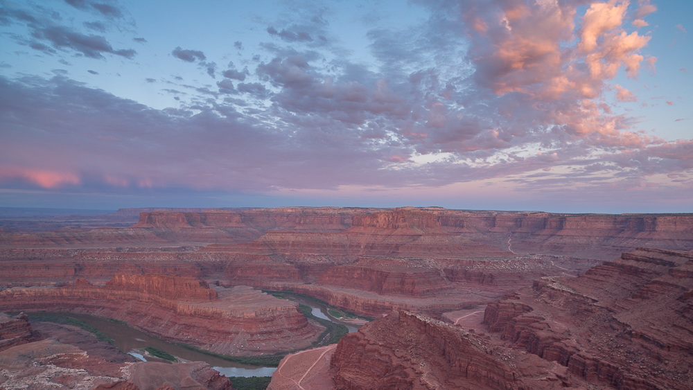
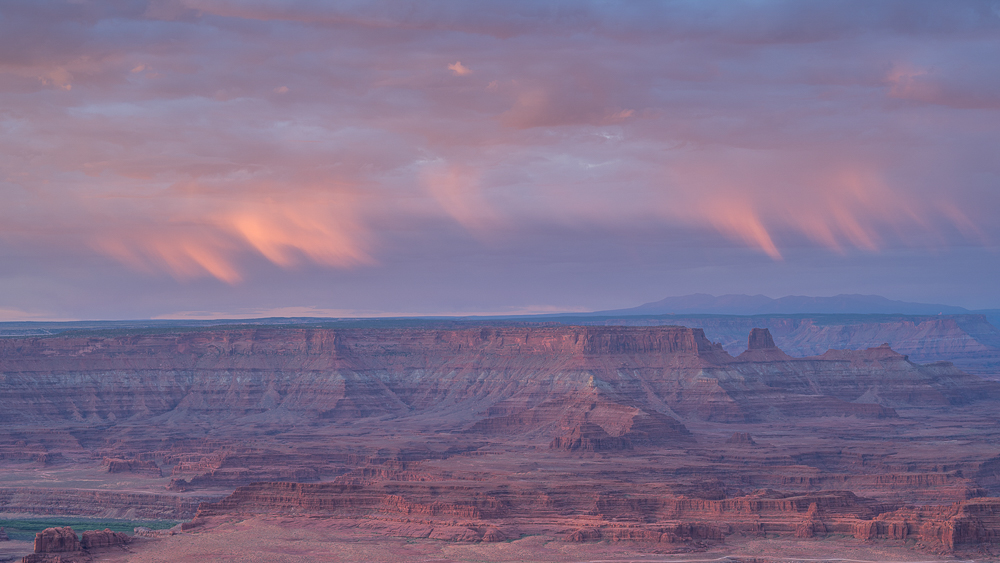
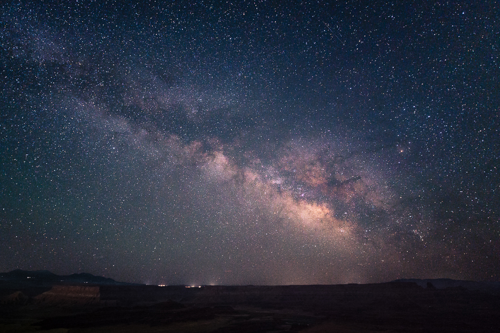
But we did get out in the morning for sunrise and again late at night to see the Milky Way from Dead Horse Point.
Our base for the next several days is a small Airbnb in Baker, Nevada. There’s not much in Baker (population 41 as of 2020, probably less now). A gas station, convenience store, restaurant, a small hotel, an RV parking lot, and several small houses is about it. The nearest, proper grocery store is an hour away in Ely, Nevada. We hauled groceries in from Delta, Utah.
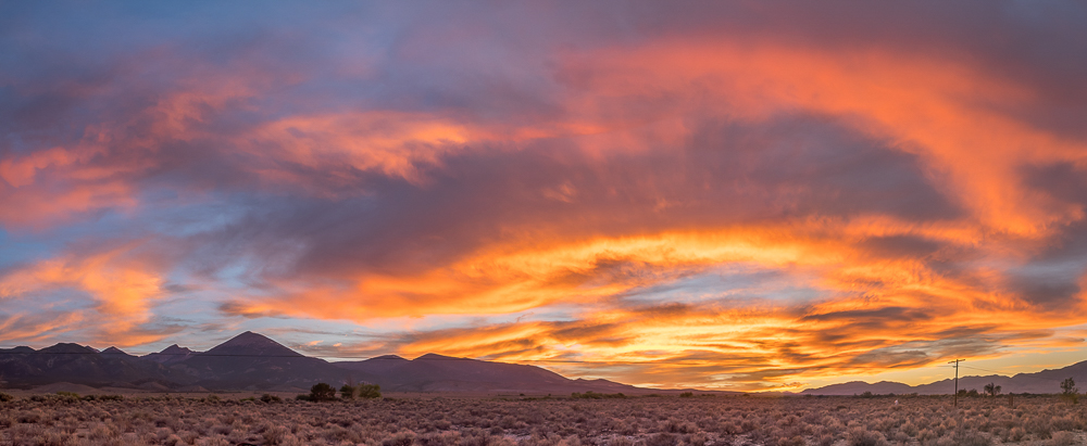
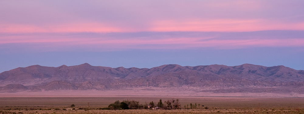
Standing in Baker you’re in the middle of a vast a desert with mountains in the distance in every direction. But for the park, Baker would almost certainly be a crumbling ghost town by now.
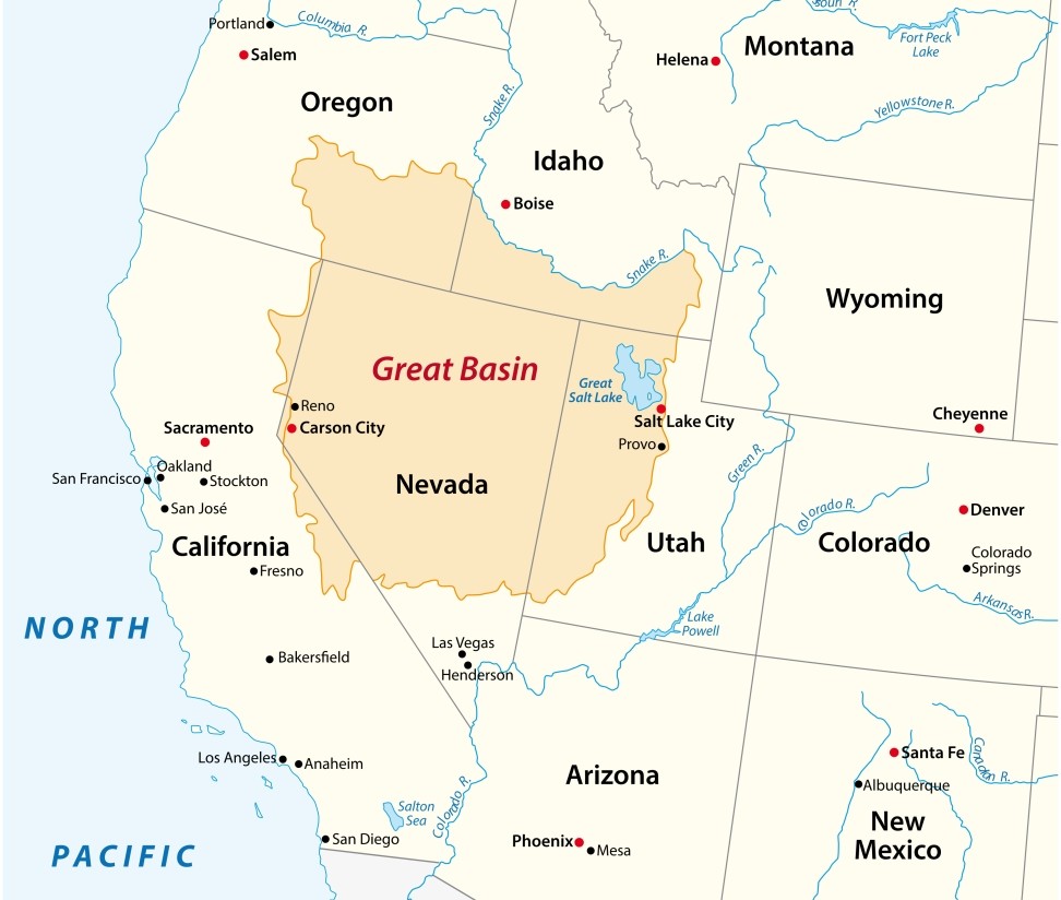
Great Basin National Park gained its national park status in 1986, expanding the original Lehman Caves National Monument to protect a portion of the southern Snake Mountain Range encompassing Wheeler Peak, several alpine lakes, and ancient Bristlecone pine groves.
The park is named after the Great Basin, a large geological region characterized by many north-south mountain ranges and flat valleys, out of which zero rivers flow to the ocean. All of the water in the basin remains in the basin until it evaporates or sinks. Or gets shipped out somewhere.
Being basically in the middle of nowhere, Great Basin National Park receives visitors who want to be there specifically. It’s not somewhere you just add on to an itinerary because its nearby. The park gets only about 150,000 to 170,000 visitors each year. For comparison, Zion National Park, which is a little over three hours away, receives over 5,000,000 visitors per year.
For many visitors, the draw is Lehman Caves, the longest cave system in Nevada. A couple of different tours are offered, with tickets costing in the range of $12 to $15 per person. Tours occur several times daily, and are limited to 20 visitors each. Tickets can be purchased on recreation.gov.
When planning this trip I was noncommittal about going on a cave tour. Only when we arrived in Baker did Stephanie decide that we should see the caves. By that time, it was too late. Cave tours sell out several weeks in advance during the summer months.
With the exception of cave tours, Great Basin National Park is one of a handful of national parks that is always free to visit.
Most folks arrive here to go hiking on and around Wheeler Peak, the second highest mountain in Nevada at 13,065 feet. The park’s main road (and only paved road), Wheeler Peak Drive, heads up the mountain. Along the drive are several campgrounds, two overlooks, and a few trailheads.
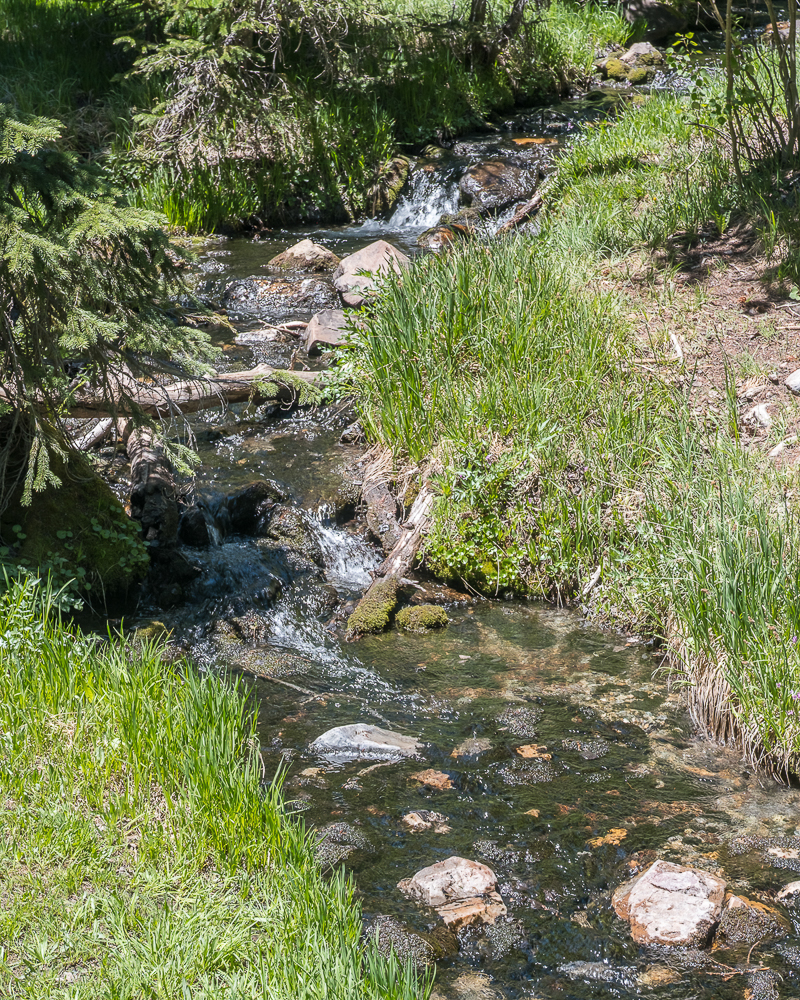
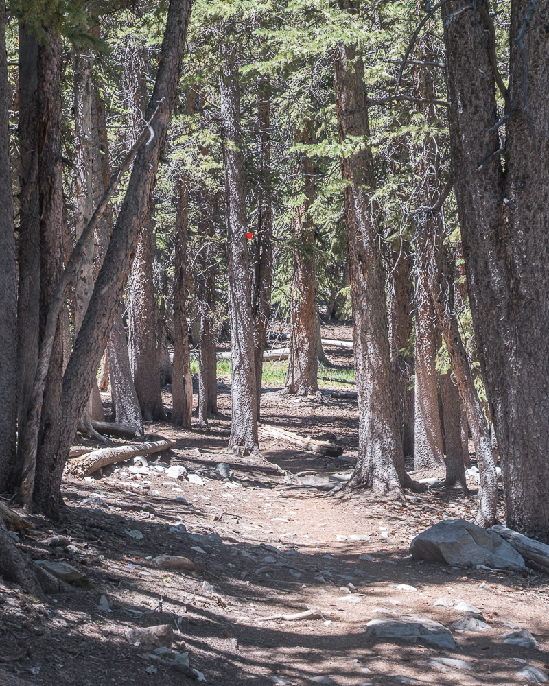
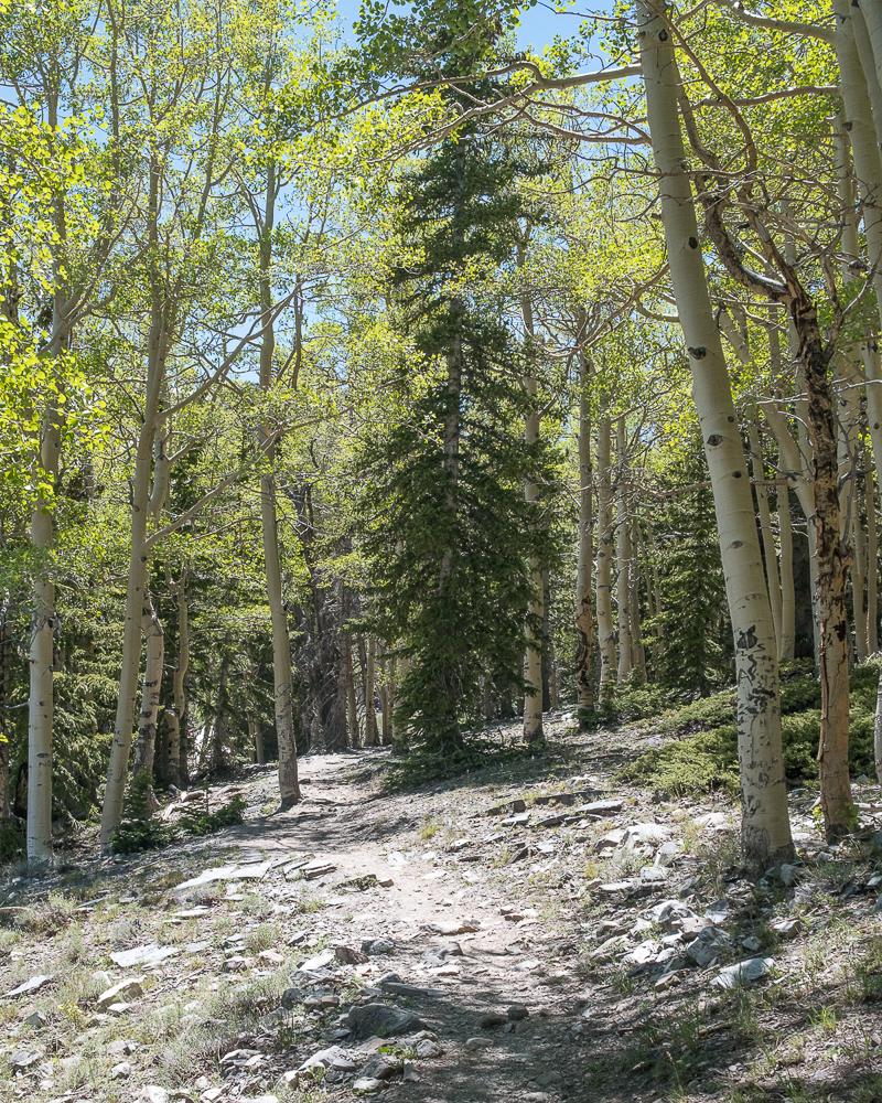
The most popular hikes originate from the Bristlecone – Alpine Lakes Trailhead at the literal end of the road. The parking lot fills up quickly in the morning, but there is a lot of turnover as the trails are only a few miles long. Parking along the side of the road is also common.
On our first day we hiked the relatively easy Alpine Lakes Trail, a 2.7 mile loop with only 475 feet in elevation gain. We went counterclockwise up a very gradual ascent to Stella Lake, which is at about the halfway point of the loop and the highest point on the trail. To our surprise there were a couple of park benches at the lake so we had a seat for a few minutes.
Leaving Stella Lake it was only a short walk over to Teresa Lake. Until this point the trail was fairly easy, mostly packed dirt. Leaving Teresa Lake heading downhill to the parking lot was very rocky in sections. Here we were glad to have worn our boots and carried our poles.
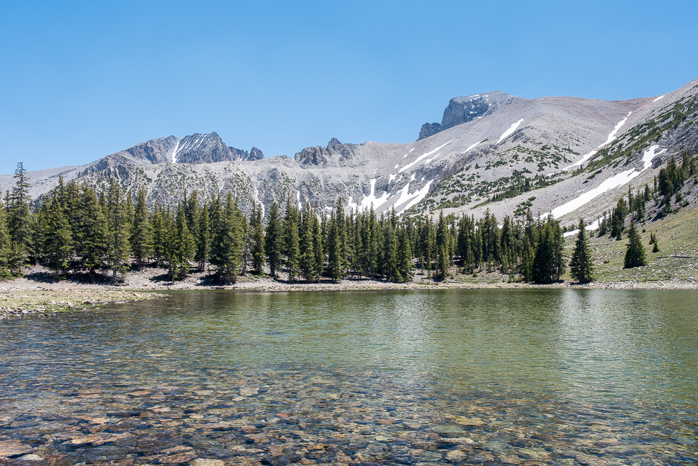
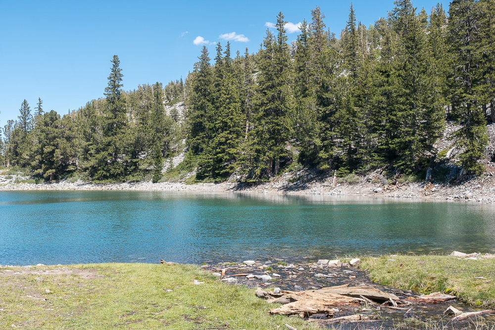
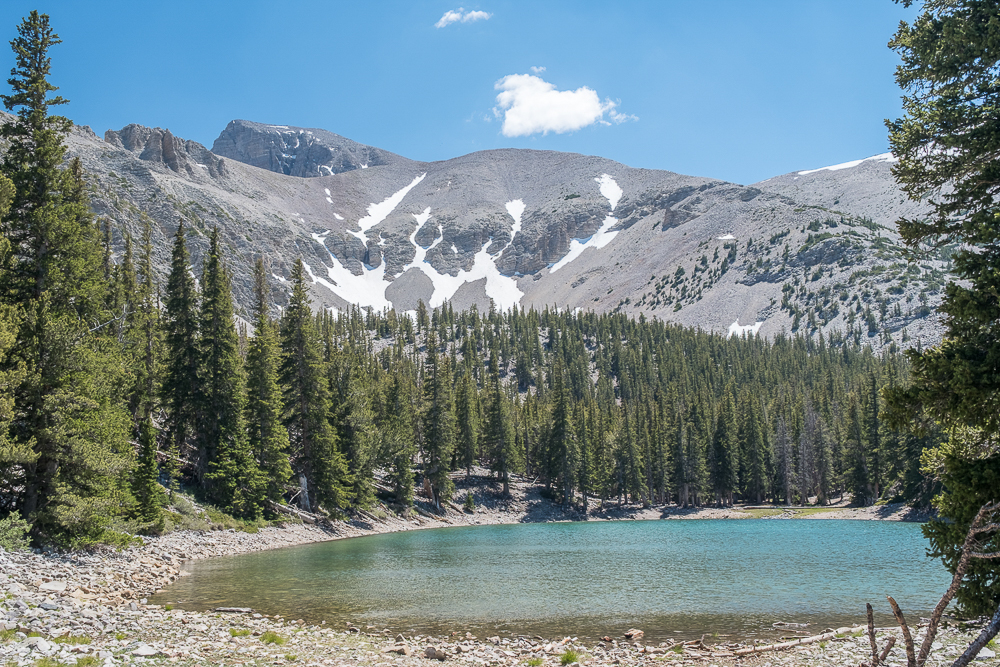
Wheeler Peak is a good 15° F to 20° F (about 9° C to 11° C) cooler than the desert valley. So the relatively hot 95° F (35° C) day was a much nicer 75° F to 80° F (24° C to 26° C) hike.
That being said, even though there are trees all around, much of the trail in is full sun. So we managed to get a bit of sunburn.
The following day we returned to hike the Glacier Trail. This hike is about 3.5 miles out and back from the Bristlecone – Alpine Lakes Trailhead, with about 750 feet in elevation gain. The elevation is not bad at all, just a constant, easy uphill.
The trail initially follows the Alpine Lakes Trail almost to Teresa Lake before the Glacier Trail splits off to head to the Bristlecone Pine Grove and rock glacier. The vast majority of the hikers on the trail turn around at the Bristlecone Pine Grove, which is about 1.5 miles into the hike. Only a handful continue on to the rock glacier.
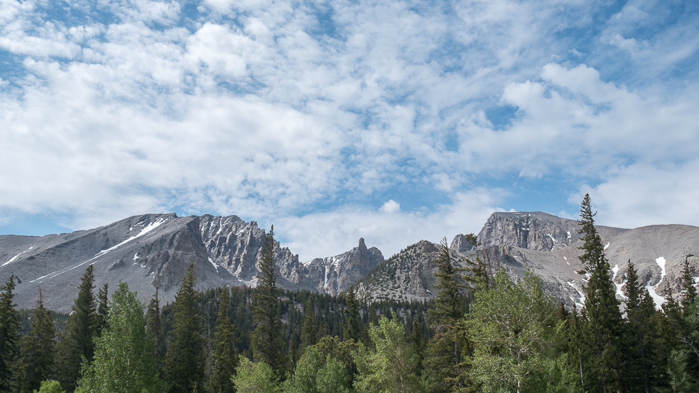
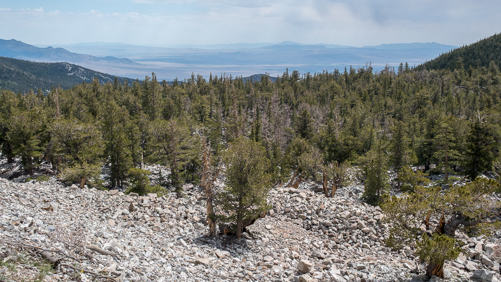
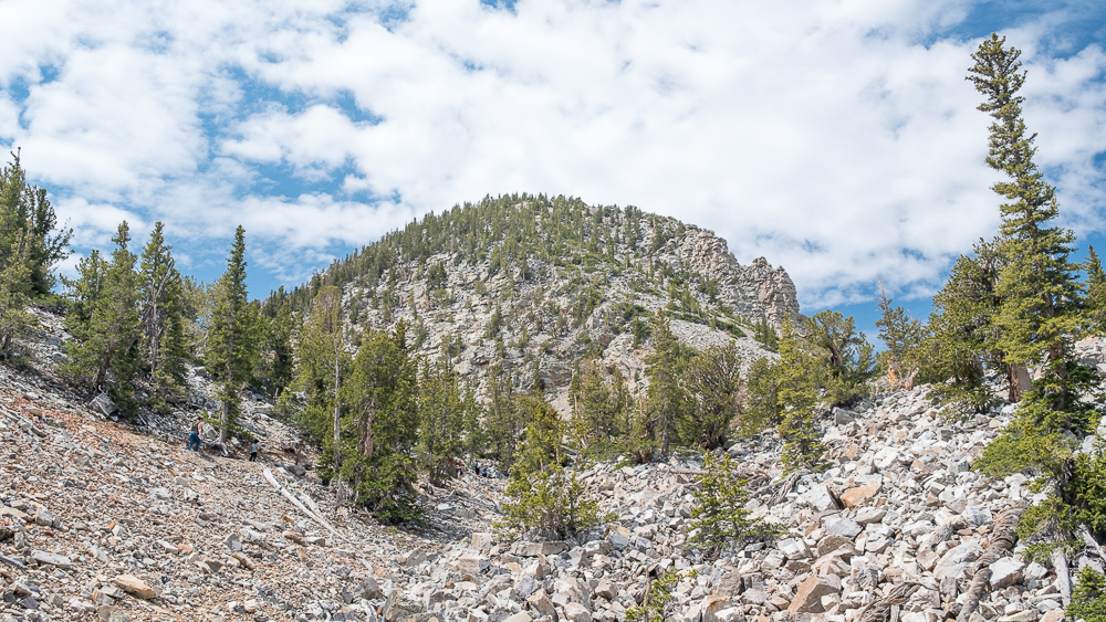
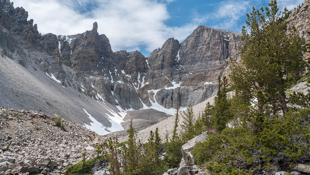
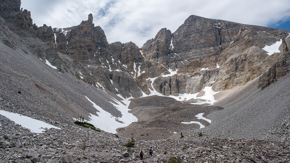
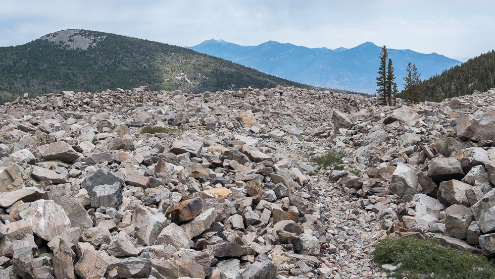
We bypassed the grove instead opting to hike to the rock glacier first. If you’ve never heard of a rock glacier before you’re not alone. We’d never heard of one either. It’s a glacier that is either covered in rocks or consists mostly of rocks that are bound together by ice and behave similarly to a glacier. FN1
Boots are highly recommended on this trail. The final mile to the rock glacier is mostly over uneven rocks ranging in size from golf ball to basketball, with most being about softball sized. Poles help at times, but are of limited use on the rocks as the tips of the poles tend to want to slip into the gaps between the rocks.
I’m not sure there is an official end to the Glacier Trail as we did not attempt to find it. Based solely on what I could see up ahead, I’m guessing we stopped about a quarter of a mile, or a little less, before the trail just disappears. Looking forward, the view doesn’t change a whole lot when the only thing in front of you is more rocks.
On the return hike we stopped in at the Bristlecone Pine Grove. Bristlecone Pines are apparently the oldest living trees on earth and are particularly adapted to living in harsh conditions at high elevations. They are found only in Nevada, Utah, and California. A park ranger hangs out in the grove during the summer months, presumably to both answer questions about the trees and protect them from idiots. A short trail through the grove includes several informational signs.
In hindsight, would should have combined the Alpine Lakes Trail with the Glacier Trail and just made a longer day of it. That would have freed up a day to hike to the summit of Wheeler Peak. I guess that will be for next time.
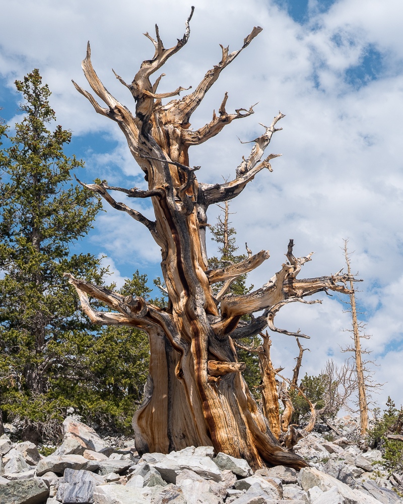
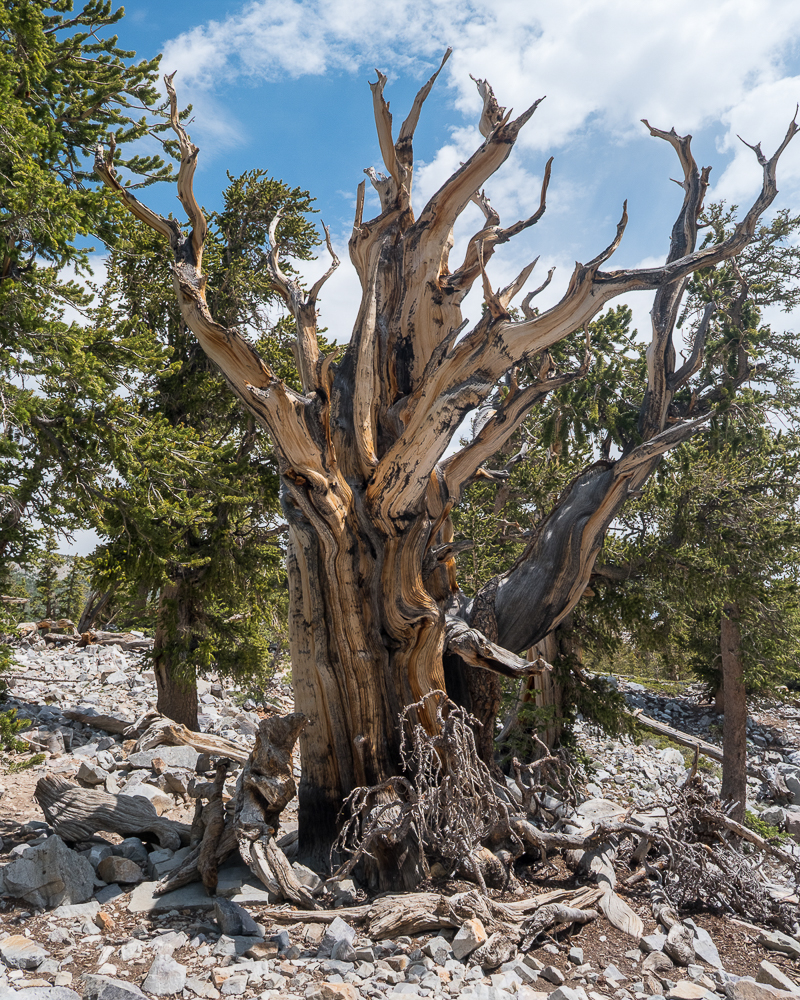
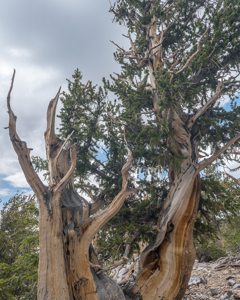
Both hikes were very enjoyable, though much more crowded than I would have expected. In two days on the trails we never went more than 5 to 10 minutes without seeing others. While Great Basin National Park may not get a lot of visitors, most of them are seemingly found in the caves or on these trails.
For a relatively small park, Great Basin National Park has a lot of hiking trails, 25 per the park’s trail guide. On our next visit we will have try out several more.
Miles Hiked:
Alpine Lakes Trail: 2.7 mile loop
Glacier Trail: 3.5 miles out and back
Total: 6.2 miles
Garrett and Stephanie
FN1. Here is the National Park Service description of a rock glacier.
To read other posts about our adventures in the National Parks and National Monuments, or elsewhere in the world, check out our Travel Blog. It contains collected links to all of our travel posts.
Want to subscribe (or unsubscribe) for email notification of new blog posts? It is only two to three emails a month. Send your name and email address to slowtravelchronicles@gmail.com, and note subscribe (or unsubscribe) in the subject line. All email addresses will be kept confidential and not sold to any third-party. You won’t get any marketing junk or sales pitches from us.