After Crater Lake National Park we drove west to Coos Bay, our base for the next several days while exploring the southern Oregon coast. We considered several possible cities for this purpose, ultimately selecting Coos Bay simply because Stephanie found an Airbnb here that she liked.
We can only stay in hotel rooms or cabins for so long. At some point having critical amenities (notably a proper coffee maker, dishwasher, and washer and dryer) becomes the primary consideration. Coos Bay is meant to be a relaxing few days with some easy walking but nothing tough.
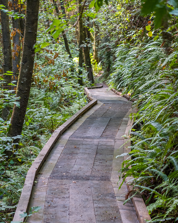
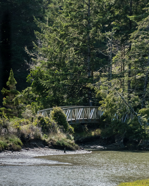
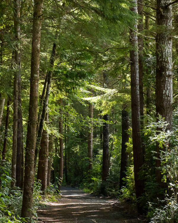
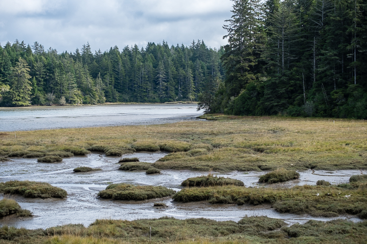
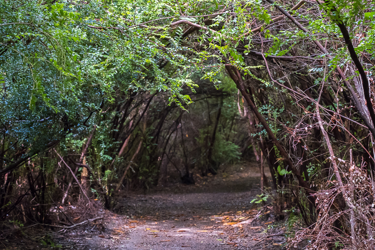
Our first destination was the South Slough National Estuarine Research Reserve. Numerous trails are found here. We ended up walking a 2.5 mile loop, starting and ending on the Hidden Creek Trail, involving the Tunnel Trail, Sloughside Trails, Railroad Trail, and Big Cedar Trail. The trails varied from dirt to graded gravel. It was a great walk, but wildlife was largely absent in September.
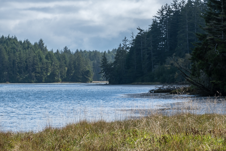
The trails are well maintained with occasional observation decks. Unfortunately, views of the slough and marsh from the observation decks are mostly obscured by trees. For great views, instead head to the Sloughside Trails (one of which is marked as the Marsh Edge Trail on the brochure) and the bridge on the North Creek Trail over Rhodes Marsh.
Coos Bay is inland, so we drove about twenty minutes to get to the wonderful state parks on the coast, where we spent a half day exploring. With one exception, each of these parks is free to visit.
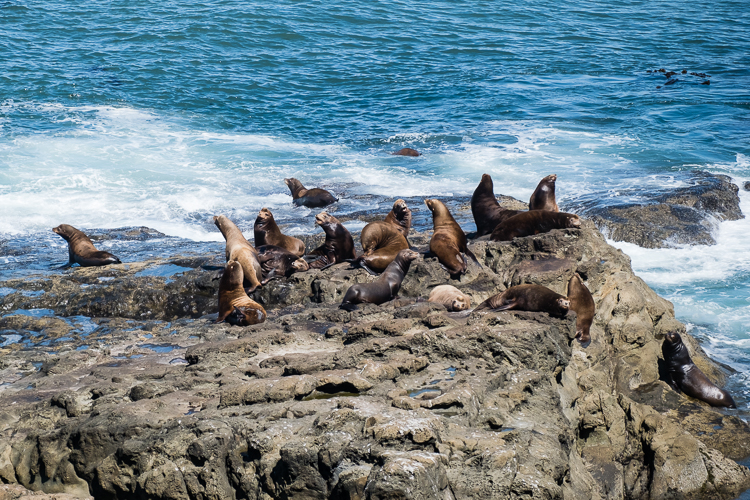
We started in Cape Arago State Park with a quick picnic lunch because we got a late start that morning. The picnic area actually has some great views looking south along the coastline. Then it was off to the North Cove Trail, a short paved walk to a viewpoint overlooking offshore rocks that host a colony of sea lions. You can hear them barking from the parking lot.
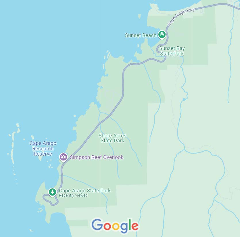
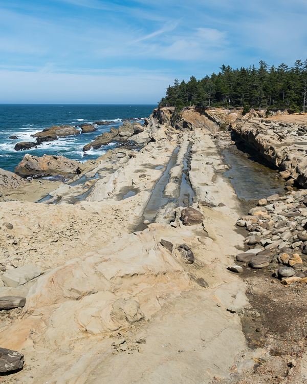
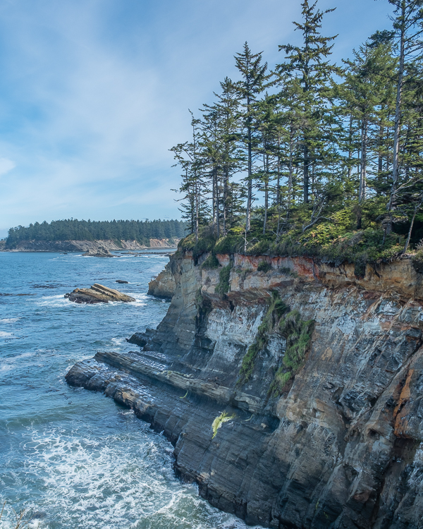
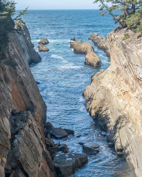
Shore Acres State Park is the only park along this stretch that requires payment of a $5 day use fee. We stopped here and happily paid the day use fee in order to walk the mostly flat and very easy Cape Arago Loop Trail. This 1.2 mile trail starts along the coast before turning inland and finishing through the forest. Along the way it offers great views of the Pacific Ocean and Cape Arago Lighthouse.
For no particular reason, other than lack of interest at the time, skipped the interpretive center and botanical gardens found in Shore Acres and moved on to the next park.
Sunset Bay State Park is centered around a sheltered bay with a wide sandy beach. It is very popular with families and kids. There were a lot of folks on the beach relaxing, playing volleyball and other games, and generally just enjoying a nice day.
We avoided the beach, instead opting to hike up the Sunset Bay Trail, a 0.9 mile out and back to a lookout point with mediocre views. At least it was a real dirt trail with enough roots and rocks to make you watch your step.
One feature of these parks is the presence of trails heading down to the ocean. In hindsight we should have skipped the Sunset Bay Trail, instead taking one of the short but steep trails down to the ocean.
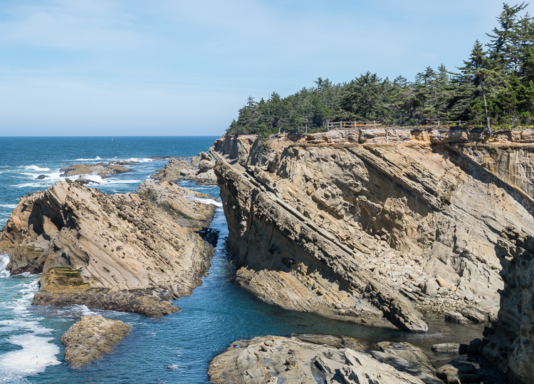
Another common link among these parks is the Oregon Coast Trail, a lengthy hiking trail that passes through them. In fact, many of the day hikes here are really just segments of the Oregon Coast Trail. If you prefer, quite a few of these short hikes can be linked together for a much longer day hike.
Our final stop for the afternoon was at Yoakam Point, an unimproved park consisting of a gravel parking area for about two or three cars, hiking trails that range from good to overgrown, and access to a secluded beach via a fairly short, but steep and rocky, trail.
We walked about 0.8 miles around a short loop trail at Yoakam Point. It was okay, but not nearly as nice as the trails in the other parks. The trail was overgrown in parts and the ocean views not as nice. There is so much more to see in this area that skipping Yoakam Point is probably your best option.
A few days later we made the long, 45 minute drive from Coos Bay to Golden and Silver Falls State Natural Area. The journey starts on a scenic road, Highway 241, E Fork Road, following the Millicoma River. A few miles from the park the road changes from a two lane paved highway to a two lane, well graded gravel road. This was fine, but at about one mile out the gravel road narrows to one lane with few spots for cars to pull over to allow others to pass. Luckily we did not pass any cars going in or out.
The road ends at the parking lot for the falls. Several cars were there when we arrived. While the park has several picnic tables and vault toilets, it is really not developed at all. Because of its location – in the middle of nowhere, literally at the end of a one lane gravel road – I doubt this place gets many visitors. You won’t find anyone here by accident.
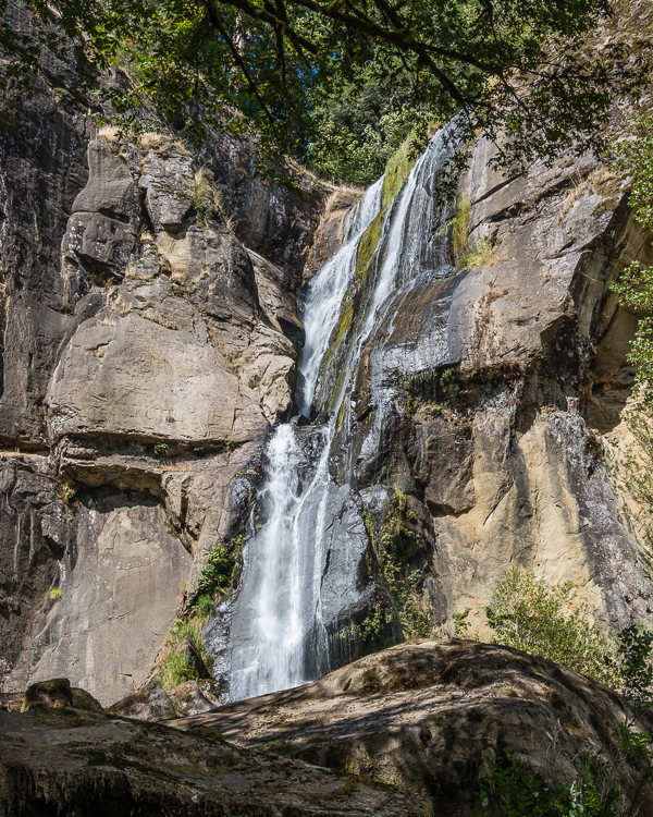
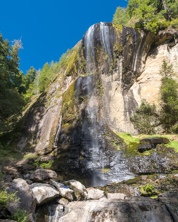
We first made the short walk to Golden Falls, along a relatively flat but narrow trail, though it is rocky at the end. We saw no one on this trail. Golden Falls is nice, but there is no real place to stop and relax once you get there. We came, we saw, we turned around and walked back. For a slightly longer and more strenuous hike, there is a trail to the top of Golden Falls, but we did not bother with it.
Next we ventured to Silver Falls, which has a much wider and well worn trail. At the end it is easy to climb up and around the rocks at the base of the falls. Here we met a couple of adults and about six little kids climbing over the rocks and playing in the creek. There are plenty of places (large rocks) to just sit and take in the views.
While both falls are beautiful, it is probably not worth the long drive there and back as the area is undeveloped with too few trails.
After several days of doing little in Coos Bay, we packed up the car to head to our next destination, Redwood National and State Parks.
Our drive south on Highway 101 went faster than expected. We quickly learned that the Oregon coast can be very windy and chilly. The outside temperature was 60° F, which sounds nice, until you add a blast of wind off the ocean. While there are a lot of places to stop and walk along the beach, cold and windy days are not conducive to making a lot of stops.
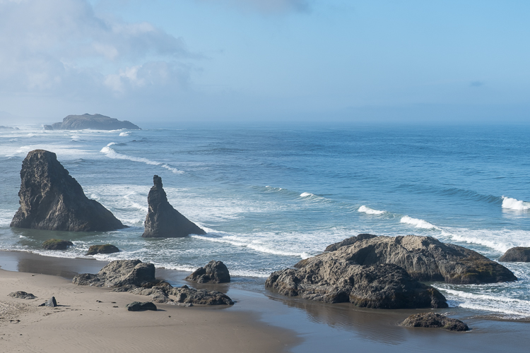
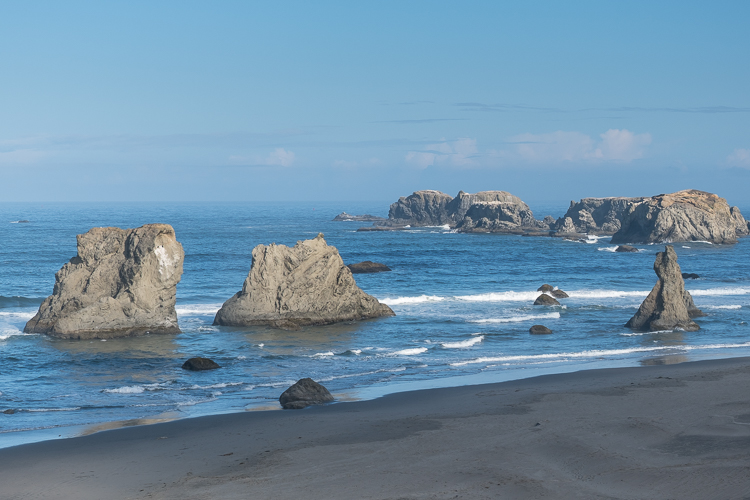
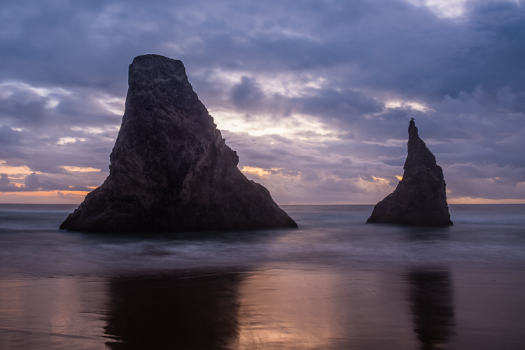
In Bandon Beach we parked at the Face Rock Viewpoint lot and took the stairs down to the beach for a short walk. While not as famous as Cannon Beach farther north, the rocks here are quite fascinating to see.
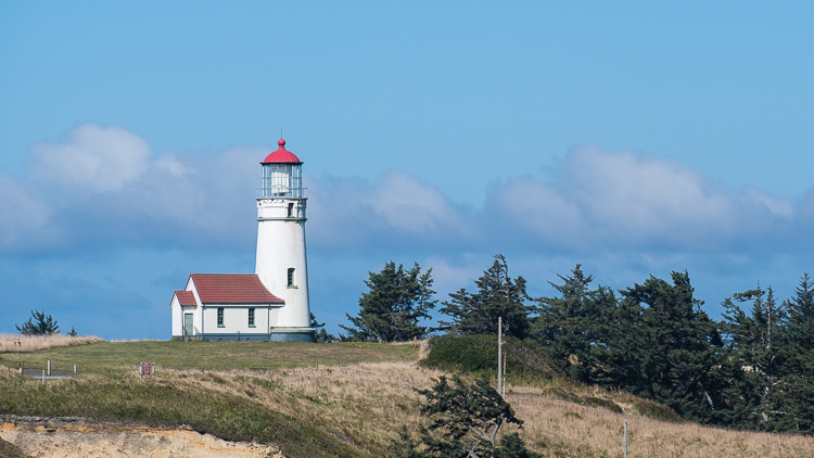
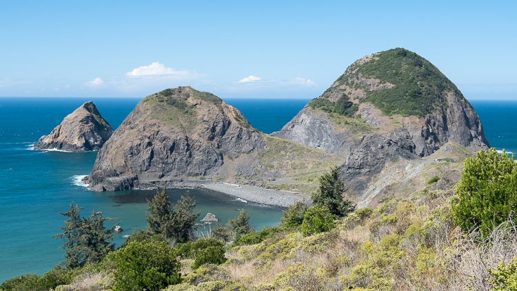
Cape Blanco State Park has a lighthouse, so that was one of our stops. We did not make the walk out to the lighthouse as it was closed. So this was a quick stop, as was Sisters Rock. Here there are two hiking trails leading out and onto Sisters Rock. This is one hike we probably should have done, but it was really windy. Besides, by now we were more focused on getting to Redwoods.
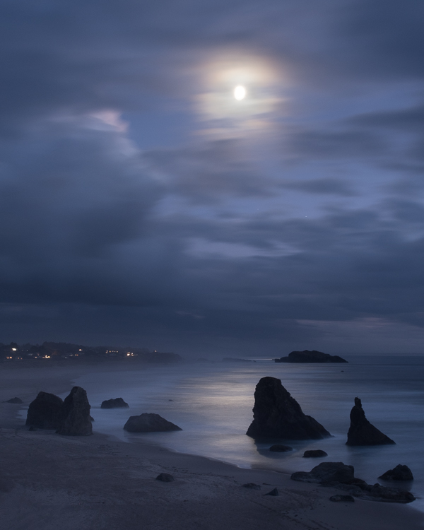
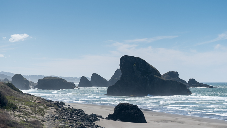
Many of the scenic places to stop on Highway 101 are just wide shoulders on the road. Few have any amenities, such as picnic tables or restrooms. One that does is Ophir Wayside, where we stopped for lunch. Soon thereafter we made our favorite, and final, stop along the coast at Meyers Creek Beach. Along with Sisters Rock, this is one place we definitely could have spent more time … in warmer, less windy weather.
Total hiking in the Coos Bay area, 6.2 miles:
South Slough, 2.5 miles
North Cove Trail, 0.2 miles
Cape Arago Loop Trail, 1.2 miles
Sunset Bay Trail, 0.9 miles
Yoakam Point Loop Trail, 0.8 miles
Golden and Silver Falls Trails, 0.5 miles
Garrett and Stephanie
To read more about our adventures in national parks and state parks, or elsewhere in the world, check out our Travel Blog. It contains collected links to all of our travel posts.
Want to subscribe (or unsubscribe) for email notification of new blog posts? It is only two to three emails a month. Send your name and email address to slowtravelchronicles@gmail.com, and note subscribe (or unsubscribe) in the subject line. All email addresses will be kept confidential and not sold to any third-party. You won’t get any marketing junk or sales pitches from us.
