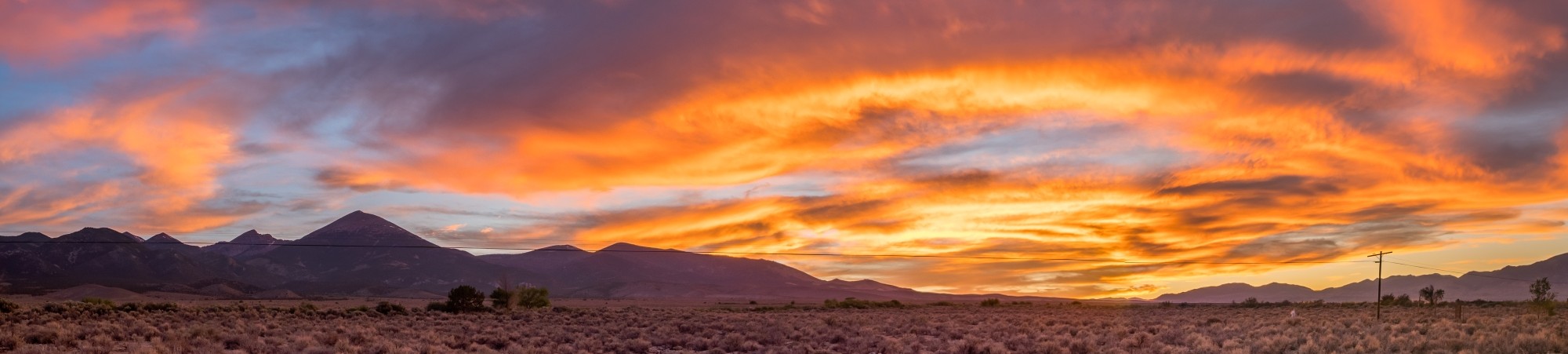
Two hikes down, three to go. And after two days of cool, overcast weather – and one trip to the medical clinic – day three was beautiful.
Hike Three: Laguna Torre
On day three the clouds were gone, the wind died down, and the sun was shining. It was a perfect day to hike to Laguna Torre, or at least part of the way to Laguna Torre.
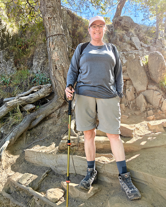
The trailhead to Laguna Torre is on the west side of town. It does not have an access control point, so we did not have to show our parks pass. We got started a bit late and were unsure how far we would go on this out and back trail.
After starting with a short but very steep uphill section, the trail alternated between being reasonably flat, heading downhill, or going steeply uphill. There are quite a few sections with large boulders and rocks to navigate. Hiking poles are a definite plus. Overall it is more challenging trail than the one the Laguna Capri, even though it is not a straight uphill.
Stephanie went a bit slower than usual, paying extra attention to the rocks and tree roots.
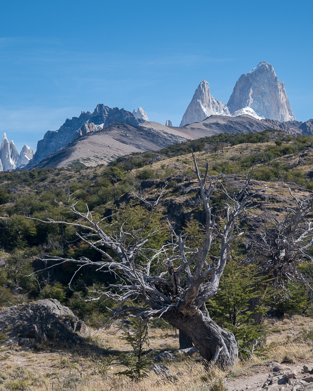
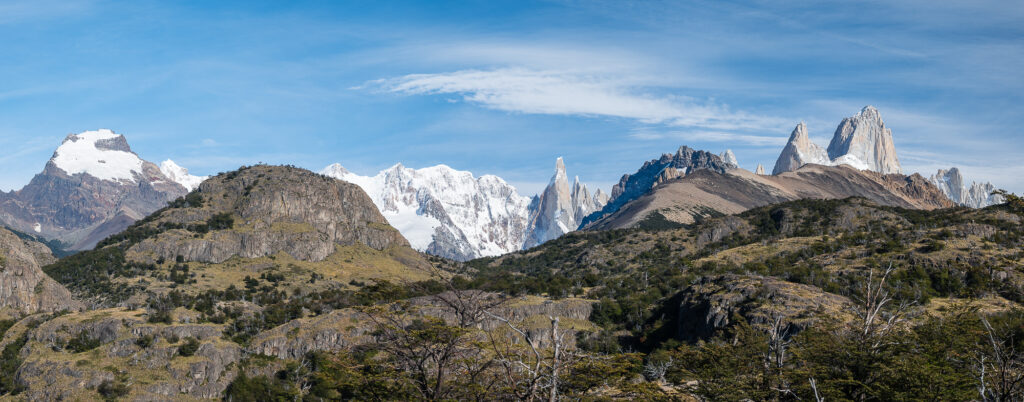
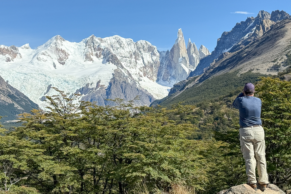
Two miles (3.2 kilometers) into the hike, after only about 600 feet (183 meters) in elevation, is Mirador Cerro Torre. We stopped for lunch and to enjoy the views which, on a clear day, are fantastic.
It was here that we deliberated whether to hike all the way to Laguna Torre. The remaining 3.5 miles (5.6 kilometers) to the lake are relatively flat. We already hiked the difficult section. Had we started earlier in the day, it would have been an easy decision to go all the way to the lake. But we didn’t want to overdo it, as we have several more days in town.
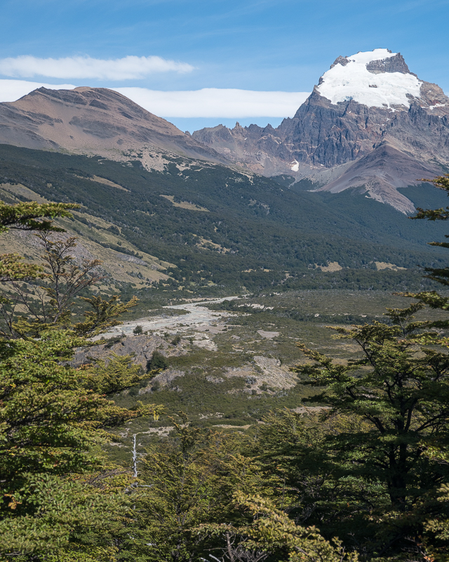
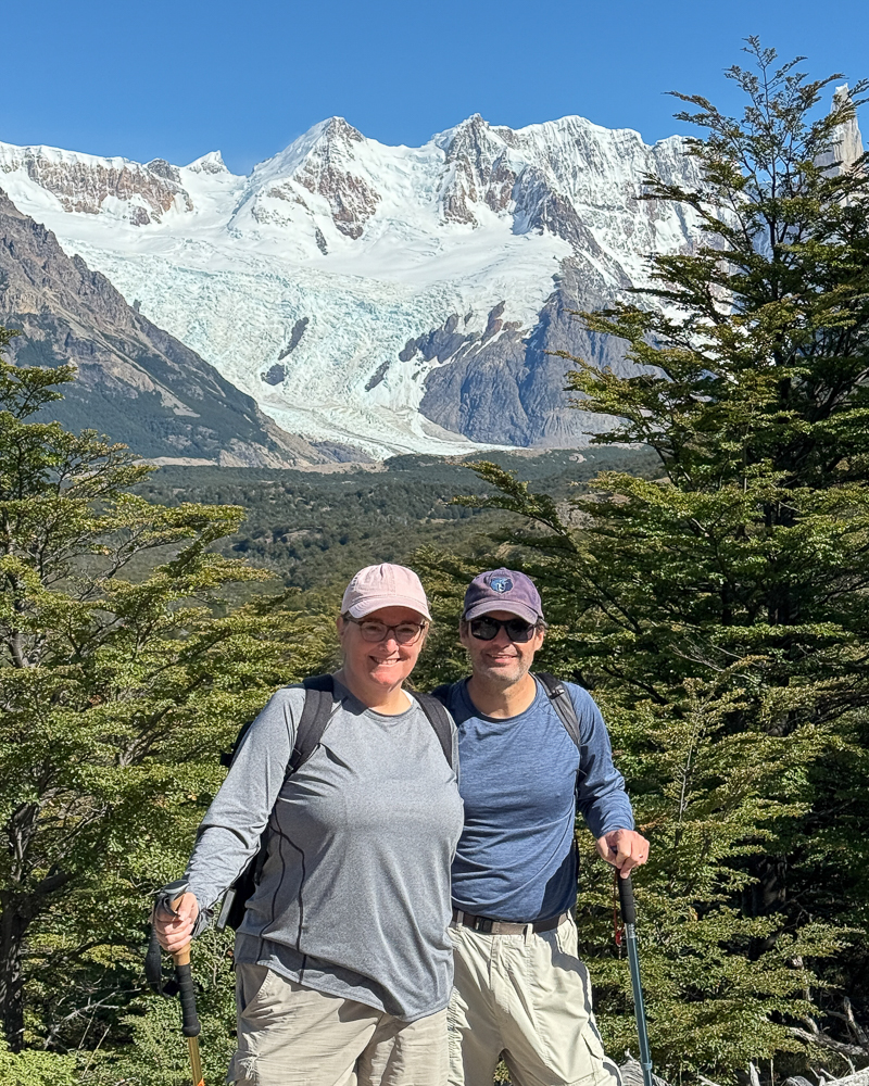
Though I think we could have made it to Laguna Torre and back without too much difficulty, we decided to call it a day after lunch. In hindsight, this was the stupidest decision we made all week.
Hike Four: Loma del Pliegue Tumbado
Luckily great weather continued on our fourth day, so we decided to tackle the trail to Loma del Pliegue Tumbado. This trail is along the ridge lines south of town, with panoramic views of the Andes Mountains. It is considered by many to be the trail to hike on a clear, calm day.
Starting at the same trailhead as Miradors de los Cóndores, our day began with another 1.3 mile walk across town. Once on the trail, you’re mostly hiking uphill. We found it to be the most difficult of the three major trails we hiked in El Chaltén because of the unrelenting steep, and often rocky, uphill sections.
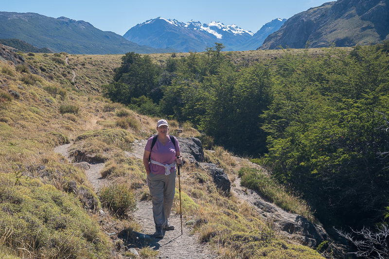
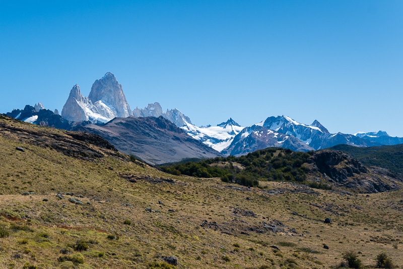
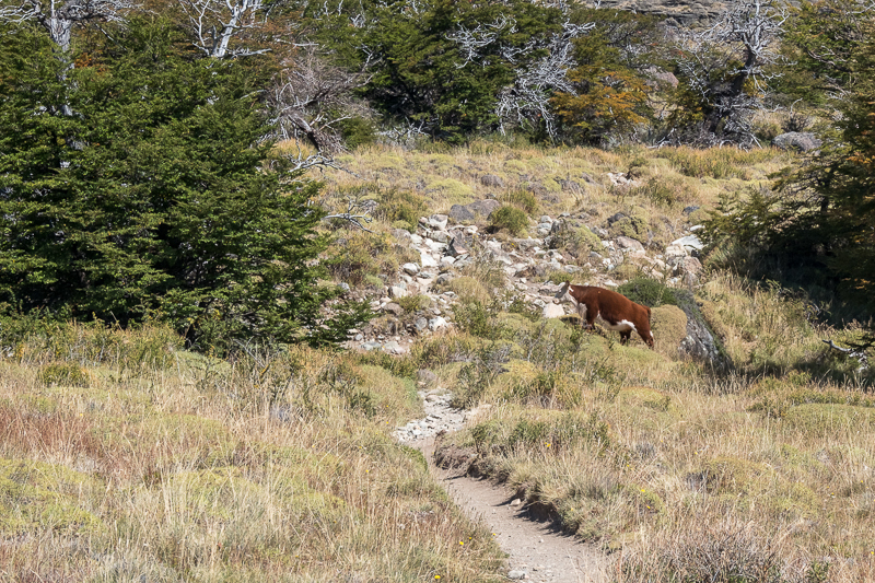
Knowing the elevation profile in advance, we weren’t ambitious enough to go the full 6 miles (10 kilometers) to the end. Instead, at about 2.5 miles (4 kilometers) and 1,360 feet in elevation (415 meters) into the hike, we reached a meadow where the you have great views of the tops of the mountain range. It wasn’t the sweeping mountain views you get at the end of the trail, but I promised Stephanie happy hour beers. We didn’t have time to get to the end of the trail and make happy hour.
While enjoying a few beers over dinner, we decided that day five was an off day. It felt good to do nothing for a day.
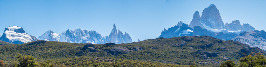
Hike Five: Laguna Los Tres
This is the hike in El Chaltén, to the three lakes at the base of Mount Fitz Roy. In total, the hike is 14 miles (22 kilometers) roundtrip with 3,450 feet (1,051 meters) in elevation gain. The first 6 miles are not a problem. The most difficult part of those first six miles is the hike to Laguna Capri, which we had already completed.
But the final mile to Laguna Los Tres is quite difficult, being 1 mile (1.6 kilometers) to go up 1,250 feet (380 meters) at a grade of 20% to 35% over rocks. This might be a bit much for us to want to tackle.
In the unlikely event of perfect weather, on our final day in El Chaltén I was going to leave early and hike to Laguna Los Tres or, at the very least, hike to the base of the steep rock climb before turning around. Our backup plan was to hike to Chorillo del Salto, a waterfall at the end of a relatively flat 2 mile (3.2 kilometer) trail along the river.
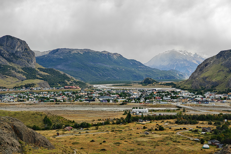
Then reality set in. It was overcast and windy again with light rain in the morning. We were still a bit tired from the previous hikes. So we took another day off and did more laundry as we prepared to begin our journey back to the United States. FN1
In the near future Stephanie will agitate to return to Buenos Aires. Not a problem. The going price is a week in El Chaltén. And then we will complete the hikes to Laguna Torre and Loma del Pliegue Tumbado, and make a serious run at Laguna Los Tres – weather permitting, of course.
Miles hiked on the trails:
Laguna Capri and Mirador Fitz Roy: 6 miles; 1,390 feet in elevation
Mirador de los Cóndores: 1.6 miles; 400 feet in elevation
Laguna Torre: 4 miles; 600 feet in elevation
Loma del Pliegue Tumbado: 5 miles; 1,360 feet in elevation
Additional miles walking to and from the trailheads (and the medical clinic): 9.4 miles
Total miles: 26 (so-so).
Garrett and Stephanie
FN 1. Our return trip took a somewhat ridiculous three days. First, a bus ride to El Calafate and another night at the Mabra Suites. The next day an early morning flight to Buenos Aires with another night spent in Palermo. Finally, on the third day, a redeye flight to Miami. Timed perfectly you could accomplish this in one long day. But we’re too old for that.
If you have not already done so, read our other post about El Chaltén:
El Chaltén, Argentina (March, 2026, Part I). Hiking in the clouds. Medical clinic or beer? Or both?
For additional posts about Argentina, or elsewhere in the world, check out our Travel Blog. It contains collected links to all of our travel posts.
Want to subscribe (or unsubscribe) for email notification of new blog posts? It is only two to three emails a month. Send your name and email address to slowtravelchronicles@gmail.com, and note subscribe (or unsubscribe) in the subject line. All email addresses will be kept confidential and not sold to any third-party. You won’t get any marketing junk or sales pitches from us.