In between the two days we spent in Crater Lake National Park, we explored several of the numerous waterfalls in the Umpqua National Forest and Rogue River – Siskiyou National Forest.
We had a list of about a dozen waterfalls to possibly visit, depending on how far we wanted to drive and how much we wanted to hike. In the end we decided to drive west on Highway 138, the N Umpqua Highway, to Toketee Falls, start there, and then work our way back to Union Creek.
Along the drive we were reminded of the nearby forest fires by numerous road signs (which glow pink at night) closing forest roads to only fire fighting vehicles. Not to mention a massive campground just north of Diamond Lake that spread over dozens of acres containing hundreds of tents set up for fire fighters.
Unfortunately the hike to Toketee Falls was closed per nearby forest fires, as was National Falls. Two of the must do hikes were off limits.
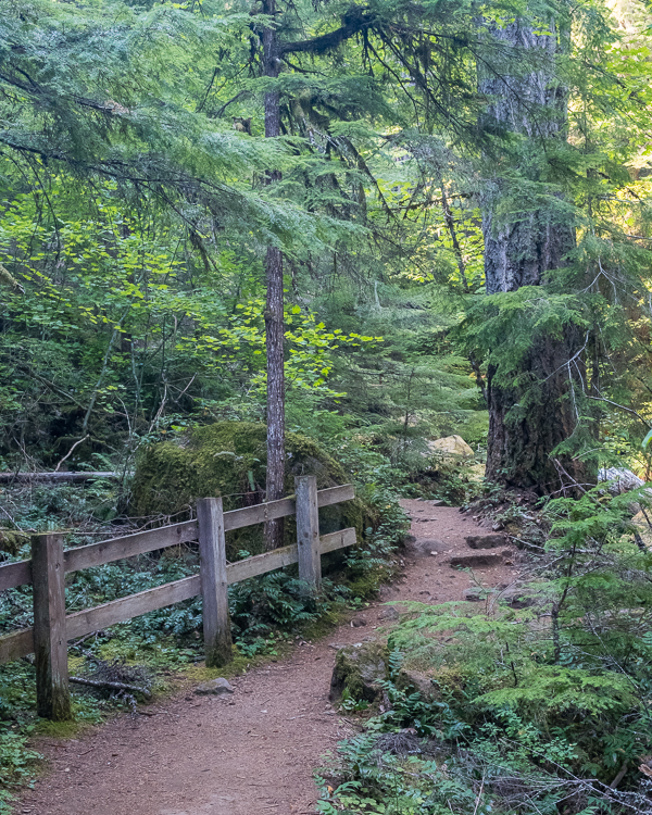
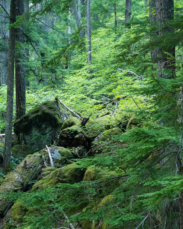
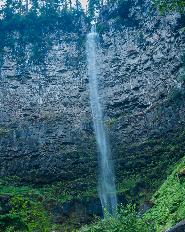
Instead we started exploring at Watson Falls, the third highest waterfall in Oregon at 293 feet. The trail is a manageable 0.8 miles round trip with 433 feet in elevation gain to the upper viewing area. We did not go quite that far, instead stopping and turning around at the lower bench viewing area, reducing the length of the hike and elevation gain by a small amount.
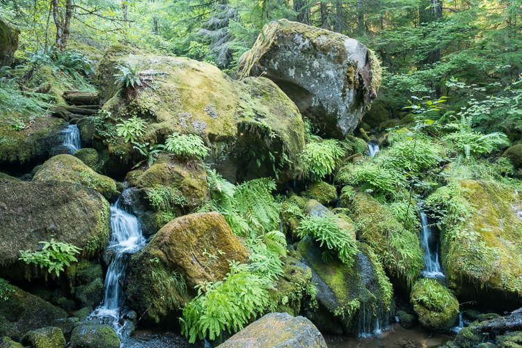
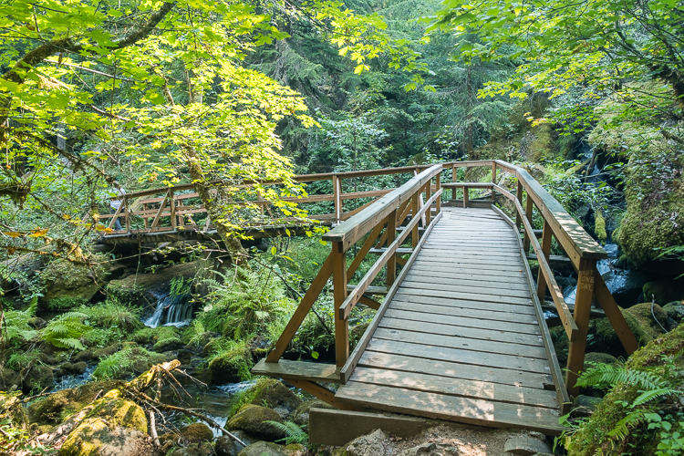
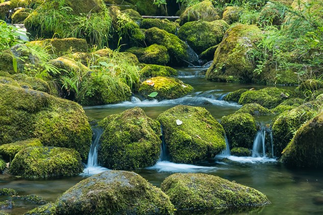
Watson Falls itself is okay (in September), but what we really liked was the series of small falls as Watson Creek cascades downhill through boulders and ferns. I’d say Watson Creek, not the falls, was my favorite of the day.
Because of a late start we went ahead and had our standard hiking lunch (peanut butter and jelly sandwiches, apples, and chips) at the picnic tables found at the trailhead. Unlike at Crater Lake National Park, we did not lose any of our lunch to marauding birds.
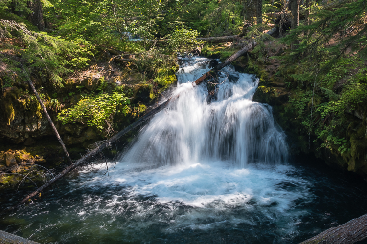
Next up was Whitehorse Falls, on the Clearwater River, which has a wooden deck viewing area about 50 feet from the parking lot. This isn’t a hike so much as a get out of the car and look around for a few minutes before moving on. Nice, but nothing special.
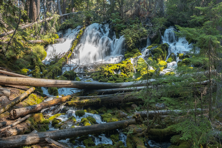
Our third waterfall for the day was Stephanie’s favorite, Clearwater Falls. Also on the Clearwater River, the base of the falls is about 100 feet from the parking lot. The best part, though, is the short uphill trail that leads to the top of the falls and the Clearwater River.
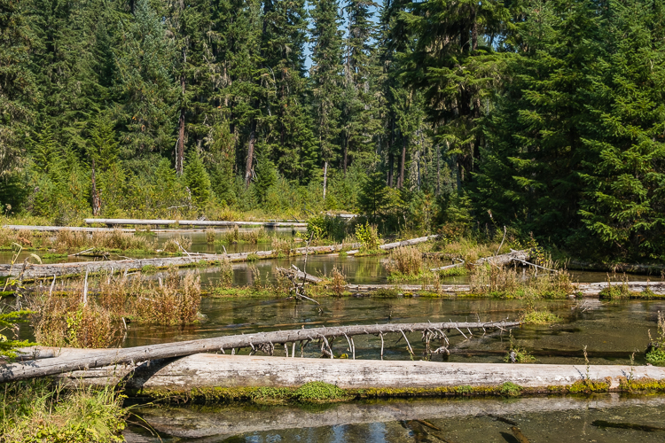
One good thing to know is that the popular waterfall sites along Highway 138 all have good size parking lots with picnic areas and vault toilets.
With Toketee Falls and National Falls being inaccessible, we decided to head south on Highway 62, Crater Lake Highway, past Union Creek and down to Prospect to see Mill Creek Falls and Barr Creek Falls. The lollipop loop trail to view both waterfalls is about 1.5 miles long with a manageable 213 feet in elevation gain. The viewpoints are somewhat distant from both falls, but the views are still worth it.
Though not on the trail map, to the left side of the Mill Creek Falls viewpoint is a steep downhill trail that I can only assume leads down to the Rogue River and the base of Mill Creek Falls. I took one look at that trail, complete with a rope for assistance in the steepest section, and thought I can do that. It’s not that steep. Stephanie must have read my mind, because she quickly said, go ahead, I’ll wait up here.
After thinking about the possibilities for a few seconds, I passed on the opportunity. I figured it would be at least a 45 minute detour, which is too long to make Stephanie wait. Besides, we were just starting the second week of a six week trip. I didn’t need to risk injury or piss off Stephanie just yet.
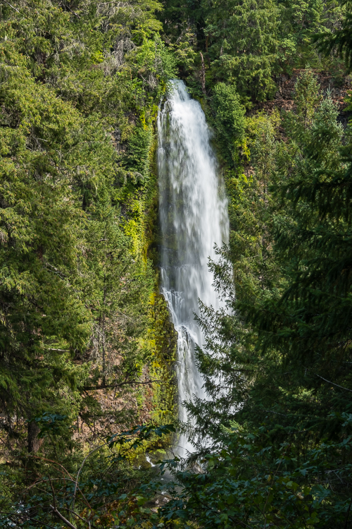
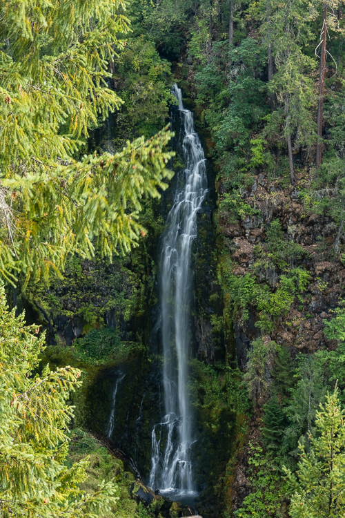
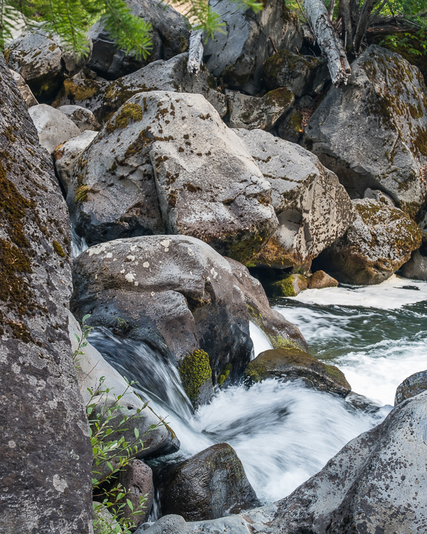
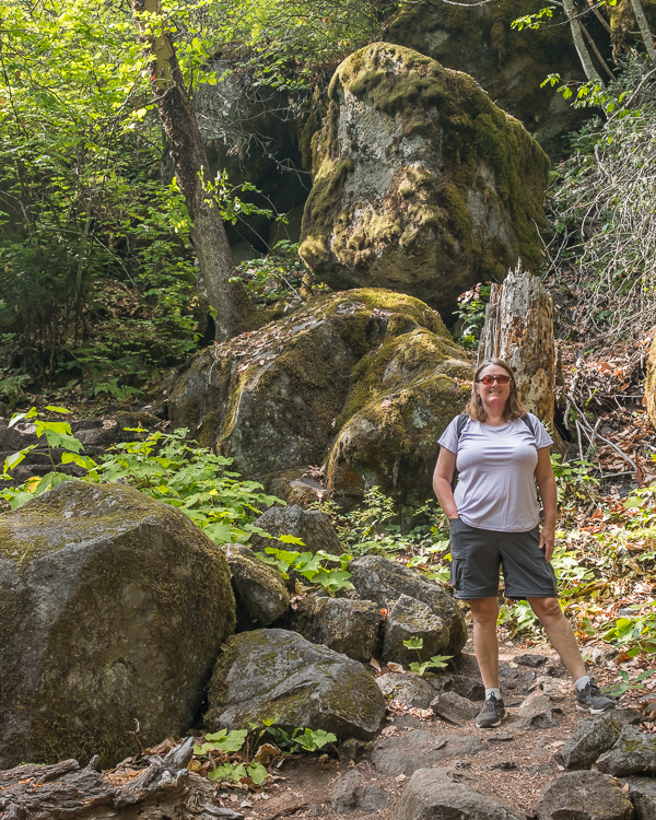
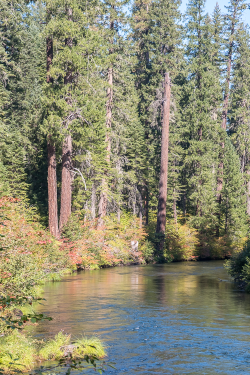
Also accessible from this trailhead is a separate trail to the Avenue of the Boulders, a section of the Rogue River that flows through, you guessed it, massive boulders. (You can get a good view of the Avenue of the Boulders from above on the bridge over the river as you drive in.) This easy trail is a bit less than a mile roundtrip. We both enjoyed the trail and seeing the river flow around and through the boulders.
Fifteen minutes later, on the hike out, yellow jackets were swarming the trail where it leaves the river bank and heads uphill. Unfortunately for Stephanie she was leading and got stung twice before realizing what in the hell was going on.
Just as Stephanie was being stung, I hollered “yellow jackets, run”. As I retreated back to the river, Stephanie plowed forward, threw down her backpack, and made excellent time going up the hill and out of harm’s way. After she was well past the swarm, I lowered my head and ran through, swatting yellow jackets with my hat, slowing down only to pick up her backpack. Luckily I escaped without being stung.
If only I had taken that side trail down to the base of Mill Creek Falls we’d probably have missed the yellow jackets. Also, I can’t tell you how many times I was tempted to yell “yellow jackets, run” over the next several weeks when I need Stephanie to get moving faster on a trail. But I never did.
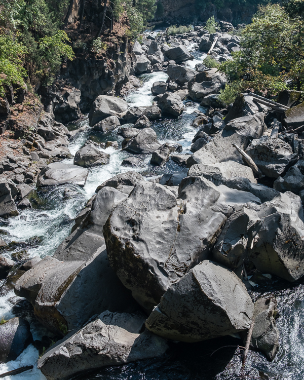
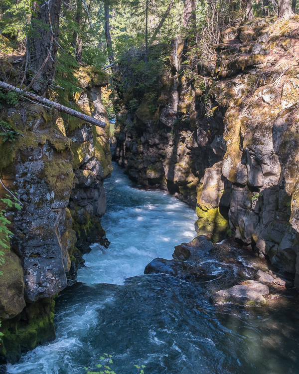
Union Creek Resort is across the street from the Rogue River Gorge. From our cabin we walked over to see the Rogue River flow through the gorge, which is 45 feet deep, 25 feet wide, and 500 feet long. The trail along the gorge itself is a paved, easy walk.
Naturally we decided to hop onto the Rogue Gorge Trail * that follows the east bank of the Rogue River after it exits the gorge. We walked downstream along the river, mostly in shade, passing by a lot of cabins. At Union Creek we turned left and joined the trail that runs alongside the creek, through the Union Creek Campground, and back to the Union Creek Resort. It was a nice, easy walk, about 1.8 miles in total, though a bit odd going past cabins, tents, and even travel trailers at times.
[* This is not the Rogue River Trail that follows the west bank of the Rogue River and is part of a much longer backpacking trail.]
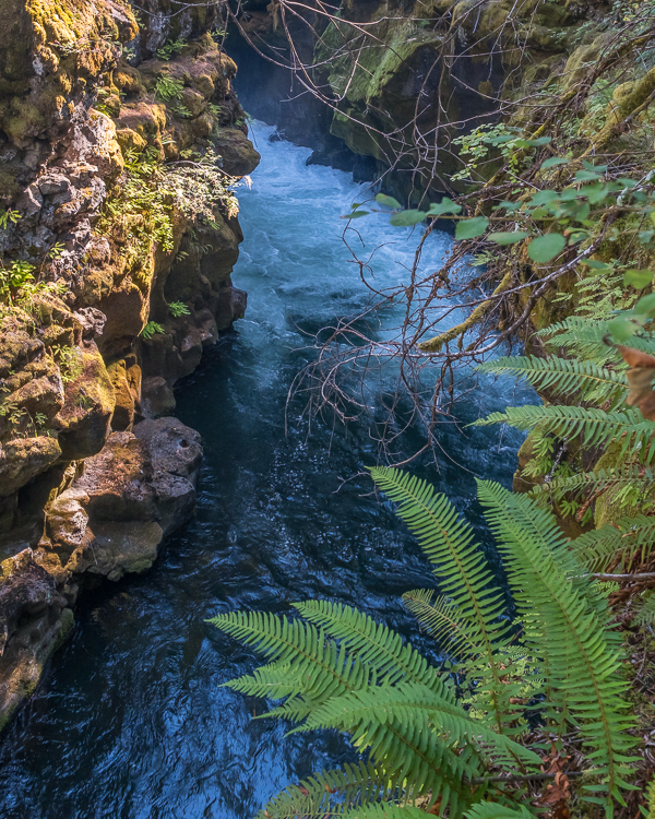
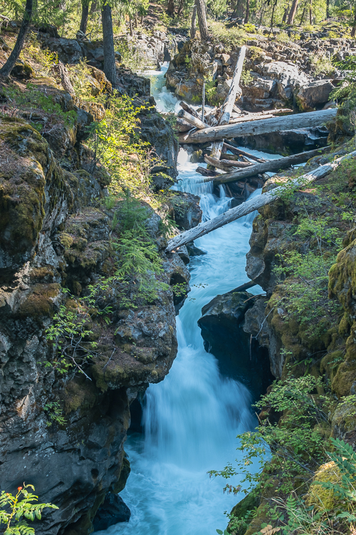
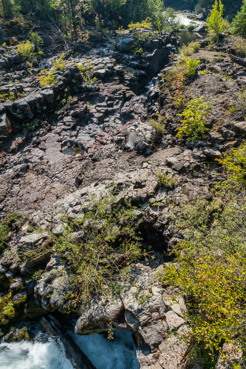
We finished the day with a 0.5 mile roundtrip walk on a paved trail to the Natural Bridge, where a section of the Rogue River flows underground for a short distance through a series of lava tubes. The viewing deck, regrettably, is directly over where the river flows underground into the lava tubes. You have to look almost straight down to see the river go underground. It would have been nice for the deck to be constructed about 20 feet upriver to give a better vantage point of the entrance to the lava tubes.
If you look carefully at the photograph of Natural Bridge, you’ll see the water entering the lava tubes at the lower left corner, and later exiting at the upper right corner.
Total hiking in the national forests, about 5.3 miles:
Watson Falls, 0.8 miles
Whitehorse Falls, maybe 50 feet
Clearwater Falls, maybe 150 feet
Mills Falls and Barr Falls, 1.5 miles
Avenue of the Boulders, about 0.7 mile
Rogue River Gorge Trail, 1.8 miles
Natural Bridge Trail, 0.5 miles
All in all a good day.
Garrett and Stephanie
To read more about our adventures in national parks and state parks, or elsewhere in the world, check out our Travel Blog. It contains collected links to all of our travel posts.
Want to subscribe (or unsubscribe) for email notification of new blog posts? It is only two to three emails a month. Send your name and email address to slowtravelchronicles@gmail.com, and note subscribe (or unsubscribe) in the subject line. All email addresses will be kept confidential and not sold to any third-party. You won’t get any marketing junk or sales pitches from us.
