After leaving Torrey and hiking the Lower Calf Creek Falls trail, we arrived at Best Western Ruby’s Inn in Bryce Canyon City (think small tourist trap just outside the park) in mid-afternoon. Skipping the tourist stores, we headed straight into the park.
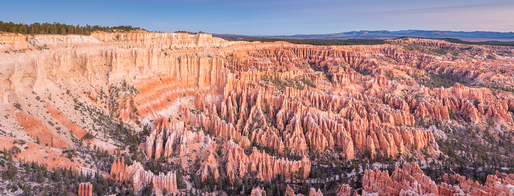
I did not expect much from Bryce Canyon National Park. I’ve seen the photographs. Cool looking canyon, got it. Of the five national parks in Utah, this is the one I was least looking forward to visiting.
What a mistake. Bryce Canyon is so much better in person than it appears in any photograph. Compared to the other parks we have visited on this trip, Bryce Canyon is easily as awesome as Canyonlands (if not more so), definitely better than Capitol Reef, and miles ahead of both Arches and Mesa Verde.
We spent a day and a half in Bryce Canyon and I’m already planning a return trip (along with Canyonlands) for more hiking. For starters, we missed the Fairyland Loop trail, Mossy Cave trail, and Under-the-Rim trail.
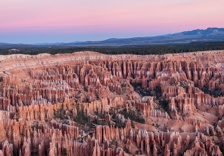
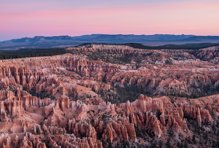
In many ways the drive along the plateau through the park, with its pine forests, is reminiscent of the north rim of the Grand Canyon. And Bryce Point might be my third favorite viewpoint ever (after Toroweap and Point Imperial, both on Grand Canyon’s north rim).
Park shuttle buses loop between Bryce Canyon City, just outside the park, and the main areas inside the park. Thankfully in mid-October the park was not so crowded that we needed to ride a bus. We had zero problems driving through the park.
Our first afternoon was spent on a short reconnaissance mission. We stopped in the visitor’s center, drove past the park lodge, and briefly explored Sunset Point and Bryce Point. Basically, we needed to get the lay of the land (i.e. the parking lots) to know where to go to the next day.
The next morning, while Stephanie slept in, I arrived at Bryce Point at 7:00 AM for the 7:42 AM sunrise. Thankfully I was familiar with the overlook, so I knew where to go and did not stumble around in the dark. One hour and dozens of photographs later, it was back to the hotel to meet Stephanie for breakfast.
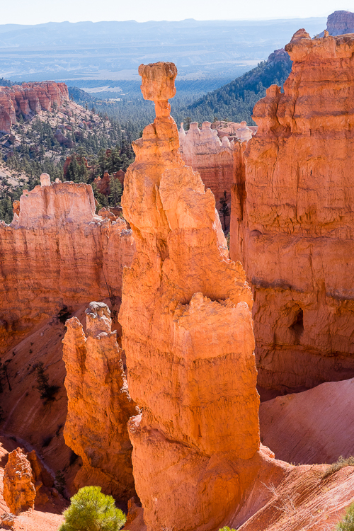
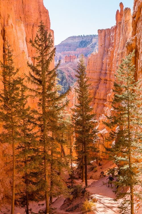
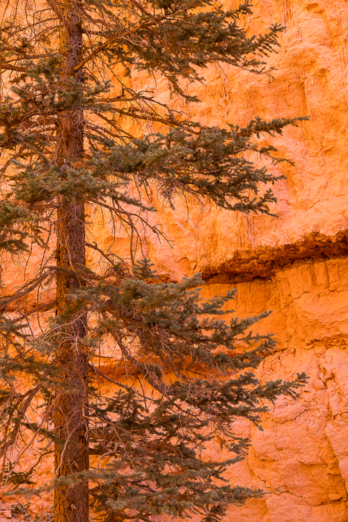
After breakfast we were off to Sunset Point to hike the Navajo Queen’s Garden loop, a fairly popular trail that is 3.1 miles long. We started with Navajo trail at Sunset Point because it is the steeper trail of the two, basically just a series of switchbacks 1.1 miles down to the canyon floor.
The Queen’s Garden trail section is longer, about 1.5 miles, and not nearly as steep. From the canyon floor, it is more of a wandering uphill trail, rather than slogging straight up switchbacks, arriving at Sunrise Point.
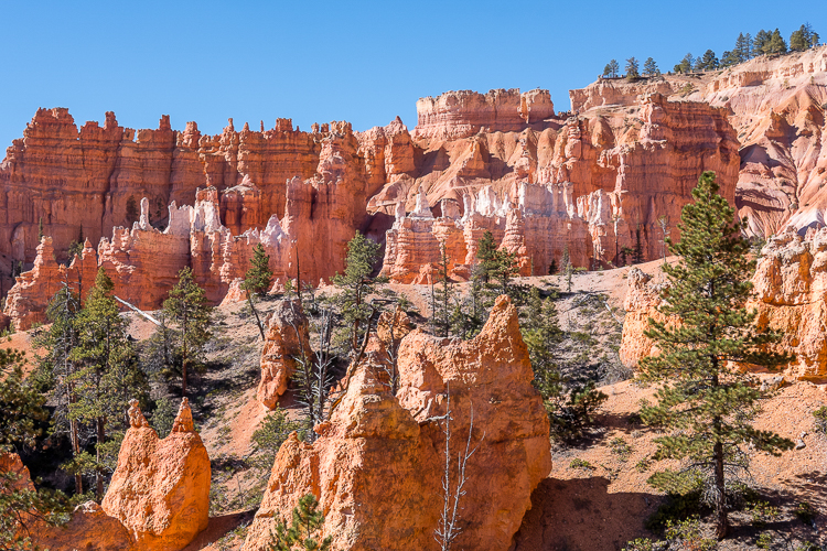
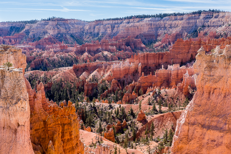
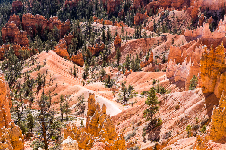
A rudimentary Google search suggests that starting on the Navajo trail is preferrable if you do not want a steep one mile uphill trek at the end of your hike. But for some reason a lot of folks choose to start at Sunrise Point on the Queen’s Garden trail (probably because the hike is often referred to as the Queen’s Garden Navajo Loop).
Stephanie was not shy about telling folks going in the opposite direction from us that they were doing it wrong. For whatever reason, she repeatedly told people that they screwed up, and that when they arrived at the bottom of Navajo trail they would regret having to hike back to the canyon rim via one mile of mostly steep switchbacks.
I finally told Stephanie to knock it off and let those folks hike in peace.
The hike from Sunset Point on the Navajo trail back up to Sunrise Point via the Queen’s Garden trail took us a little under two hours. From there it was a short 0.5 mile walk along the canyon rim trail back to the starting point, and our car.
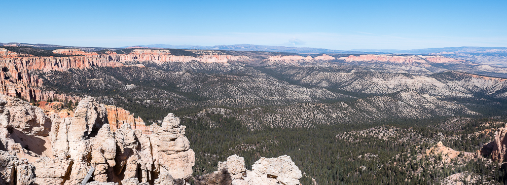
After a short rest, we jumped into the car and drove 15 miles south to the end of the park, Rainbow Point. At Rainbow Point we had our standard picnic lunch before resuming sightseeing.
The overlooks at Bryce Canyon are all on the east side of the road. We stopped at each one as we leisurely drove north from Rainbow Point back to the visitor’s center. There are about ten overlooks, but many of them are similar.
Rainbow Point, Yovimpa Point, Ponderosa Point, and Natural Bridge are worthwhile stops. For us the other overlooks were too similar to be of any real interest.
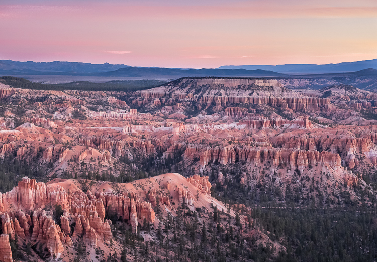
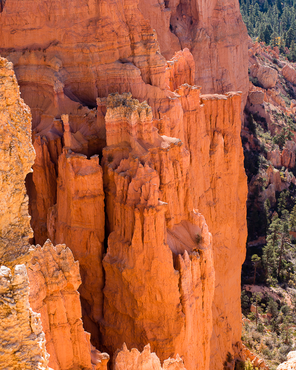
In the main area of the park, Bryce Point, Paria View, Inspiration Point, Sunset Point, Sunrise Point, and Fairyland Point are all worth a visit. We did not walk much of the rim trail, but that would be a good alternative if going down into the canyon is not for you.

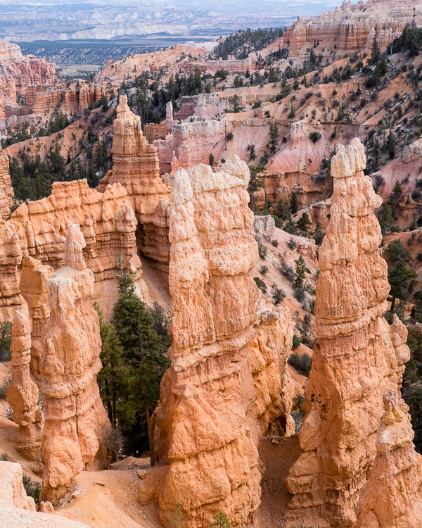
At about 3:00 PM we headed back to the hotel, where we had plans to rendezvous with the hot tub. There were easily over 100 kids staying at the hotel in two large groups with chaperones (fall break, I guess), which meant that no sane adult wanted to be anywhere near the pool and hot tub after about 7:30 PM. So we went before dinner.
In the (quite large) hot tub we met folks from several foreign countries: Netherlands; Switzerland; and, California. On this trip we met a lot of couples who admitted to being from California, but claimed that they had moved or were moving to either Utah or Idaho for various reasons. On the flip side, we met a lot of folks from Utah and Idaho who were not happy with that trend.
To have dinner away from the tourist trap that is Bryce Canyon City, we drove to the next town over, Tropic. The restaurants in Tropic are still somewhat touristy, but not nearly as bad. Actually, first we tried to go to the Subway in Bryce Canyon City but it was closed. On a Thursday.
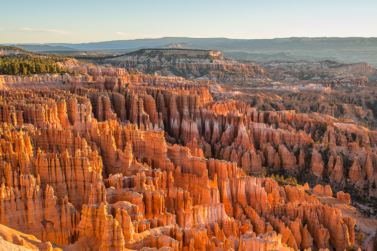
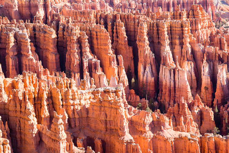
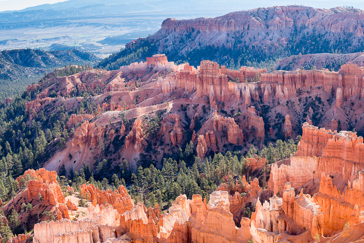
The next morning, again while Stephanie slept in, I headed to Inspiration Point for sunrise. One hour and dozens of photographs later, it was back to the hotel to meet Stephanie for breakfast before leaving Bryce Canyon.
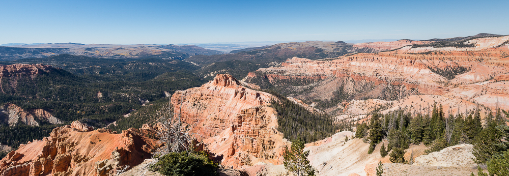
On the drive south to Kanab, we detoured to Cedar Breaks National Monument. Cedar Breaks is an amphitheater style canyon, similar to Bryce Canyon. The park has few visitors and little in the way of amenities. It is truly out in the middle of nowhere.
It was cold (lower 40s) and windy on the day arrived, so we did nothing more than drive to five different overlooks, take a few photographs, and keep moving. We saw maybe 10 other people in the park during our visit.
I wish we had been at Cedar Breaks a few weeks earlier. The park is covered with aspens and pine trees. The aspens had already dropped their leaves before we arrived. Seeing Cedar Breaks in full fall colors would have been outstanding.
Miles Hiked:
Bryce Canyon: 3.1 miles (Navajo Queen’s Garden Loop trail)
Cedar Breaks National Monument: maybe 150 feet (way too cold and windy)
For our final week in Utah we are based in Kanab. From there we are exploring Zion National Park and the surrounding wilderness.
Garrett and Stephanie
To read other posts about our adventures in the National Parks and National Monuments, or elsewhere in the world, check out our Travel Blog. It contains collected links to all of our travel posts.
Want to subscribe (or unsubscribe) for email notification of new blog posts? It is only two to three emails a month. Send your name and email address to slowtravelchronicles@gmail.com, and note subscribe (or unsubscribe) in the subject line. All email address will be kept confidential and not sold to any third-party. You won’t get any marketing junk or sales pitches from us.
